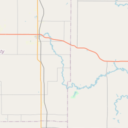
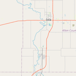
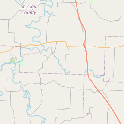
Moores Branch
Map
Leaflet | <a href="https://www.openstreetmap.org/copyright">© OpenStreetMap contributors</a>
Item
| Property | Value |
|---|---|
| id | 703382 |
| downstream_mainstem_id | https://geoconnex.us/ref/mainstems/466308 |
| encompassing_mainstem_basins | ['https://geoconnex.us/ref/mainstems/466308', 'https://geoconnex.us/ref/mainstems/386567', 'https://geoconnex.us/ref/mainstems/360396', 'https://geoconnex.us/ref/mainstems/324362', 'https://geoconnex.us/ref/mainstems/312532', 'https://geoconnex.us/ref/mainstems/312091'] |
| featuretype | ['https://www.opengis.net/def/schema/hy_features/hyf/HY_FlowPath', 'https://www.opengis.net/def/schema/hy_features/hyf/HY_WaterBody'] |
| fid | 19405 |
| head_2020huc12 | 102901040209 |
| head_nhdpv1_comid | 7366865 |
| head_nhdpv2_comid | https://geoconnex.us/nhdplusv2/comid/7366865 |
| head_nhdpv2huc12 | https://geoconnex.us/nhdplusv2/huc12/102901040209 |
| head_rf1id | 25212 |
| lengthkm | 22.3 |
| name_at_outlet | Moores Branch |
| name_at_outlet_gnis_id | 482735 |
| new_mainstemid | |
| outlet_2020huc12 | 102901040209 |
| outlet_drainagearea_sqkm | 81.1 |
| outlet_nhdpv1_comid | 7366883 |
| outlet_nhdpv2_comid | https://geoconnex.us/nhdplusv2/comid/7366883 |
| outlet_nhdpv2huc12 | https://geoconnex.us/nhdplusv2/huc12/102901040209 |
| outlet_rf1id | 25212 |
| superseded | False |
| uri | https://geoconnex.us/ref/mainstems/703382 |