South Fork Ticaboo Creek
Map
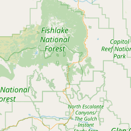
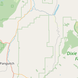
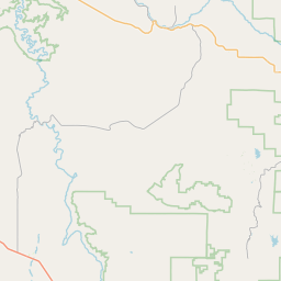
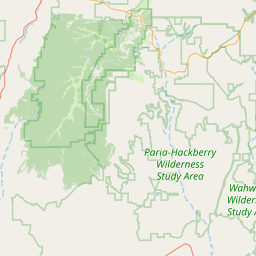
Leaflet | <a href="https://www.openstreetmap.org/copyright">© OpenStreetMap contributors</a>
Item
| Property | Value |
|---|---|
| id | 71839 |
| downstream_mainstem_id | https://geoconnex.us/ref/mainstems/29559 |
| encompassing_mainstem_basins | ['https://geoconnex.us/ref/mainstems/29559'] |
| featuretype | ['https://www.opengis.net/def/schema/hy_features/hyf/HY_FlowPath', 'https://www.opengis.net/def/schema/hy_features/hyf/HY_WaterBody'] |
| fid | 26222 |
| head_2020huc12 | 140700011002 |
| head_nhdpv1_comid | 4886551 |
| head_nhdpv2_comid | https://geoconnex.us/nhdplusv2/comid/4886551 |
| head_nhdpv2huc12 | https://geoconnex.us/nhdplusv2/huc12/140700011002 |
| head_rf1id | None |
| lengthkm | 15.3 |
| name_at_outlet | South Fork Ticaboo Creek |
| name_at_outlet_gnis_id | 1434981 |
| new_mainstemid | |
| outlet_2020huc12 | 140700011002 |
| outlet_drainagearea_sqkm | 77.4 |
| outlet_nhdpv1_comid | 4886893 |
| outlet_nhdpv2_comid | https://geoconnex.us/nhdplusv2/comid/4886893 |
| outlet_nhdpv2huc12 | https://geoconnex.us/nhdplusv2/huc12/140700011002 |
| outlet_rf1id | None |
| superseded | False |
| uri | https://geoconnex.us/ref/mainstems/71839 |