Sand Creek
Map
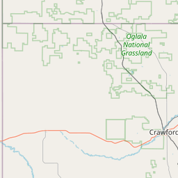
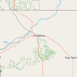
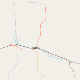
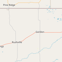
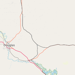
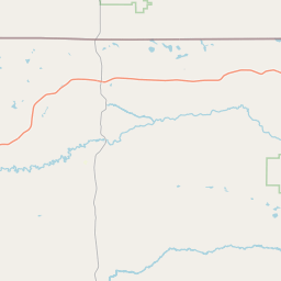
Leaflet | <a href="https://www.openstreetmap.org/copyright">© OpenStreetMap contributors</a>
Item
| Property | Value |
|---|---|
| id | 753328 |
| downstream_mainstem_id | https://geoconnex.us/ref/mainstems/644548 |
| encompassing_mainstem_basins | ['https://geoconnex.us/ref/mainstems/644548', 'https://geoconnex.us/ref/mainstems/329867', 'https://geoconnex.us/ref/mainstems/312532', 'https://geoconnex.us/ref/mainstems/312091'] |
| featuretype | ['https://www.opengis.net/def/schema/hy_features/hyf/HY_FlowPath', 'https://www.opengis.net/def/schema/hy_features/hyf/HY_WaterBody'] |
| fid | 17223 |
| head_2020huc12 | |
| head_nhdpv1_comid | 16101293 |
| head_nhdpv2_comid | https://geoconnex.us/nhdplusv2/comid/16101293 |
| head_nhdpv2huc12 | |
| head_rf1id | 27154 |
| lengthkm | 29.8 |
| name_at_outlet | Sand Creek |
| name_at_outlet_gnis_id | 835656 |
| new_mainstemid | |
| outlet_2020huc12 | |
| outlet_drainagearea_sqkm | 59.3 |
| outlet_nhdpv1_comid | 16100927 |
| outlet_nhdpv2_comid | https://geoconnex.us/nhdplusv2/comid/16100927 |
| outlet_nhdpv2huc12 | |
| outlet_rf1id | 27154 |
| superseded | False |
| uri | https://geoconnex.us/ref/mainstems/753328 |