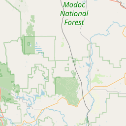
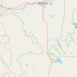
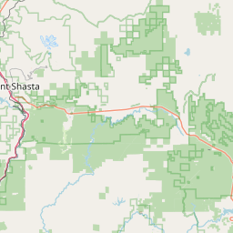
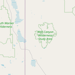
Johnson Creek
Map
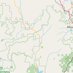
Leaflet | <a href="https://www.openstreetmap.org/copyright">© OpenStreetMap contributors</a>
Item
| Property | Value |
|---|---|
| id | 9217 |
| downstream_mainstem_id | https://geoconnex.us/ref/mainstems/6046 |
| encompassing_mainstem_basins | ['https://geoconnex.us/ref/mainstems/6046', 'https://geoconnex.us/ref/mainstems/1866', 'https://geoconnex.us/ref/mainstems/1'] |
| featuretype | ['https://www.opengis.net/def/schema/hy_features/hyf/HY_FlowPath', 'https://www.opengis.net/def/schema/hy_features/hyf/HY_WaterBody'] |
| fid | 32351 |
| head_2020huc12 | |
| head_nhdpv1_comid | 7928891 |
| head_nhdpv2_comid | https://geoconnex.us/nhdplusv2/comid/7928891 |
| head_nhdpv2huc12 | |
| head_rf1id | None |
| lengthkm | 10.0 |
| name_at_outlet | Johnson Creek |
| name_at_outlet_gnis_id | 261974 |
| new_mainstemid | |
| outlet_2020huc12 | |
| outlet_drainagearea_sqkm | 51.5 |
| outlet_nhdpv1_comid | 7929209 |
| outlet_nhdpv2_comid | https://geoconnex.us/nhdplusv2/comid/7929209 |
| outlet_nhdpv2huc12 | |
| outlet_rf1id | None |
| superseded | False |
| uri | https://geoconnex.us/ref/mainstems/9217 |