Loachapoka
Map
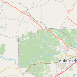
Leaflet | <a href="https://www.openstreetmap.org/copyright">© OpenStreetMap contributors</a>
Item
| Property | Value |
|---|---|
| id | 0143744 |
| affgeoid | 1600000US0143744 |
| census_profile | https://data.census.gov/cedsci/profile?g=1600000US0143744 |
| fid | 17732 |
| lsad | 43 |
| name | Loachapoka |
| placefp | 43744 |
| placens | 02406032 |
| statefp | 01 |
| uri | https://geoconnex.us/ref/places/0143744 |