T-L RURAL WATER DISTRICT
Map
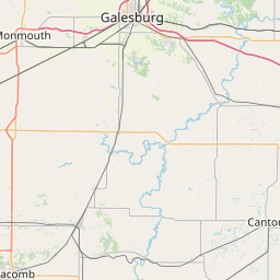
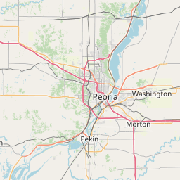
Leaflet | <a href="https://www.openstreetmap.org/copyright">© OpenStreetMap contributors</a>
Item
| Property | Value |
|---|---|
| id | IL1430030 |
| boundary_type | Unknown Service Area - Using EPA ECHO facility location with buffered radius to represent PWS |
| centroid_lat | 40.785999 |
| centroid_lon | -89.767358 |
| centroid_quality | ECHO: COUNTY CENTROID |
| city_served | None |
| contact_email | jess@gosimplelab.com |
| contribution_date | 2022-07-05 |
| county_served | PEORIA |
| data_source | SimpleLab |
| fid | 25393 |
| is_wholesaler_ind | False |
| owner_type_code | L |
| place_uri | https://geoconnex.us/ref/places/ |
| population_served_count | 2665 |
| pred_05 | 2383.77522765988 |
| pred_50 | 2436.33177920683 |
| pred_95 | 2490.04707721546 |
| primacy_agency_code | IL |
| primacy_type | State |
| primary_source_code | GWP |
| primary_water_source | Purchased Groundwater |
| pws_name | T-L RURAL WATER DISTRICT |
| sdwis_link | https://enviro.epa.gov/enviro/sdw_report_v3.first_table?pws_id=IL1430030&state=IL&source=0&population=0 |
| service_area_type | Residential Area |
| service_connections_count | 1025 |
| source_date | 2022-07-05 |
| source_url | https://www.hydroshare.org/resource/b11b8982eebd4843833932f085f71d92/data/contents/temm.geojson |
| state_code | IL |
| state_uri | https://geoconnex.us/ref/states/17 |
| tier | 3 |
| uri | https://geoconnex.us/ref/pws/IL1430030 |
| wholesaler | Is not a wholesaler |