WOOD POND VILLAGE
Map
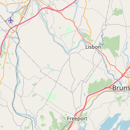
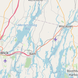
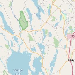
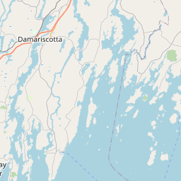
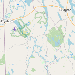
Leaflet | <a href="https://www.openstreetmap.org/copyright">© OpenStreetMap contributors</a>
Item
| Property | Value |
|---|---|
| id | ME0092372 |
| boundary_type | Unknown Service Area - Using EPA ECHO facility location with buffered radius to represent PWS |
| centroid_lat | 43.892682 |
| centroid_lon | -69.985884 |
| centroid_quality | ECHO: ZIP CODE CENTROID |
| city_served | BRUNSWICK |
| contact_email | jess@gosimplelab.com |
| contribution_date | 2022-07-05 |
| county_served | CUMBERLAND |
| data_source | SimpleLab |
| fid | 47356 |
| is_wholesaler_ind | False |
| owner_type_code | P |
| place_uri | https://geoconnex.us/ref/places/ |
| population_served_count | 60 |
| pred_05 | 209.832026609135 |
| pred_50 | 217.569675413438 |
| pred_95 | 225.592653440292 |
| primacy_agency_code | ME |
| primacy_type | State |
| primary_source_code | GW |
| primary_water_source | Groundwater |
| pws_name | WOOD POND VILLAGE |
| sdwis_link | https://enviro.epa.gov/enviro/sdw_report_v3.first_table?pws_id=ME0092372&state=ME&source=0&population=0 |
| service_area_type | Residential Area |
| service_connections_count | 20 |
| source_date | 2022-07-05 |
| source_url | https://www.hydroshare.org/resource/b11b8982eebd4843833932f085f71d92/data/contents/temm.geojson |
| state_code | ME |
| state_uri | https://geoconnex.us/ref/states/23 |
| tier | 3 |
| uri | https://geoconnex.us/ref/pws/ME0092372 |
| wholesaler | Is not a wholesaler |