WEST KNOX RWD
Map
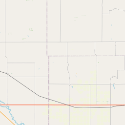
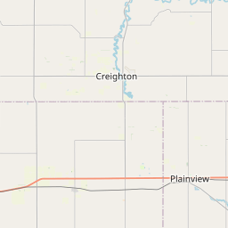
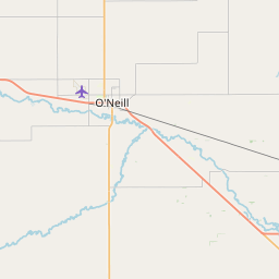
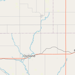
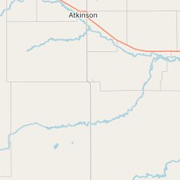
Leaflet | <a href="https://www.openstreetmap.org/copyright">© OpenStreetMap contributors</a>
Item
| Property | Value |
|---|---|
| id | NE3120348 |
| boundary_type | Unknown Service Area - Using EPA ECHO facility location with buffered radius to represent PWS |
| centroid_lat | 42.5135279 |
| centroid_lon | -97.9601341 |
| centroid_quality | TIGER: CALCULATED FROM GEOMETRY |
| city_served | WINNETOON |
| contact_email | jess@gosimplelab.com |
| contribution_date | 2022-07-05 |
| county_served | KNOX |
| data_source | SimpleLab |
| fid | 42422 |
| is_wholesaler_ind | False |
| owner_type_code | L |
| place_uri | https://geoconnex.us/ref/places/ |
| population_served_count | 500 |
| pred_05 | 1299.96344393512 |
| pred_50 | 1330.93409024853 |
| pred_95 | 1362.64258879735 |
| primacy_agency_code | NE |
| primacy_type | State |
| primary_source_code | GW |
| primary_water_source | Groundwater |
| pws_name | WEST KNOX RWD |
| sdwis_link | https://enviro.epa.gov/enviro/sdw_report_v3.first_table?pws_id=NE3120348&state=NE&source=0&population=0 |
| service_area_type | Residential Area |
| service_connections_count | 214 |
| source_date | 2022-07-05 |
| source_url | https://www.hydroshare.org/resource/b11b8982eebd4843833932f085f71d92/data/contents/temm.geojson |
| state_code | NE |
| state_uri | https://geoconnex.us/ref/states/31 |
| tier | 3 |
| uri | https://geoconnex.us/ref/pws/NE3120348 |
| wholesaler | Is not a wholesaler |