MIDDLE ISLAND LAKE ASSOCIATION
Map
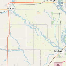
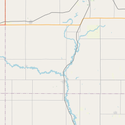
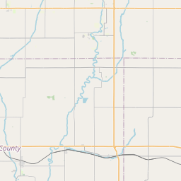
Leaflet | <a href="https://www.openstreetmap.org/copyright">© OpenStreetMap contributors</a>
Item
| Property | Value |
|---|---|
| id | NE3120623 |
| boundary_type | Unknown Service Area - Using relevant U.S. Census Places Catographic Boundary Polygon to represent PWS |
| centroid_lat | 41.0019586 |
| centroid_lon | -96.2483314 |
| centroid_quality | CALCULATED FROM GEOMETRY |
| city_served | SOUTH BEND |
| contact_email | jess@gosimplelab.com |
| contribution_date | 2022-07-05 |
| county_served | CASS |
| data_source | SimpleLab |
| fid | 47522 |
| is_wholesaler_ind | False |
| owner_type_code | P |
| place_uri | https://geoconnex.us/ref/places/ |
| population_served_count | 92 |
| pred_05 | None |
| pred_50 | None |
| pred_95 | None |
| primacy_agency_code | NE |
| primacy_type | State |
| primary_source_code | GW |
| primary_water_source | Groundwater |
| pws_name | MIDDLE ISLAND LAKE ASSOCIATION |
| sdwis_link | https://enviro.epa.gov/enviro/sdw_report_v3.first_table?pws_id=NE3120623&state=NE&source=0&population=0 |
| service_area_type | Residential Area |
| service_connections_count | 55 |
| source_date | 2022-07-05 |
| source_url | https://www.hydroshare.org/resource/b11b8982eebd4843833932f085f71d92/data/contents/temm.geojson |
| state_code | NE |
| state_uri | https://geoconnex.us/ref/states/31 |
| tier | 2 |
| uri | https://geoconnex.us/ref/pws/NE3120623 |
| wholesaler | Is not a wholesaler |