SANDS OF BROOKHURST
Map
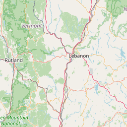
Leaflet | <a href="https://www.openstreetmap.org/copyright">© OpenStreetMap contributors</a>
Item
| Property | Value |
|---|---|
| id | NH1522040 |
| boundary_type | Water Service Area - as specified in source_url |
| centroid_lat | 43.6526867 |
| centroid_lon | -71.4964896 |
| centroid_quality | TIGER: CALCULATED FROM GEOMETRY |
| city_served | MEREDITH |
| contact_email | ewiggans@lincolninst.edu |
| contribution_date | 2022-12-15 |
| county_served | BELKNAP |
| data_source | Layer from Utility |
| fid | 38076 |
| is_wholesaler_ind | False |
| owner_type_code | P |
| place_uri | https://geoconnex.us/ref/places/ |
| population_served_count | 80 |
| pred_05 | 170.368104236451 |
| pred_50 | 182.867275541232 |
| pred_95 | 196.283457010599 |
| primacy_agency_code | NH |
| primacy_type | State |
| primary_source_code | GW |
| primary_water_source | Groundwater |
| pws_name | SANDS OF BROOKHURST |
| sdwis_link | https://enviro.epa.gov/enviro/sdw_report_v3.first_table?pws_id=NH1522040&state=NH&source=0&population=0 |
| service_area_type | current service area |
| service_connections_count | 26 |
| source_date | 2022-11-16 |
| source_url | https://github.com/ewiggansLI/NH_DES_PWS |
| state_code | NH |
| state_uri | https://geoconnex.us/ref/states/33 |
| tier | 1 |
| uri | https://geoconnex.us/ref/pws/NH1522040 |
| wholesaler | Is not a wholesaler |