USGS NWIS Stream/River/Lake Site 03567594: FRIAR BRANCH TRIB NEAR TYNER, TN
Map
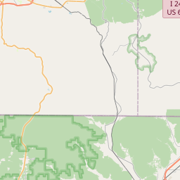
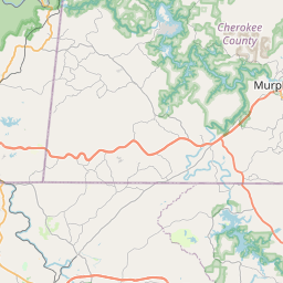

Leaflet | <a href="https://www.openstreetmap.org/copyright">© OpenStreetMap contributors</a>
Item
| Property | Value |
|---|---|
| id | 1000115 |
| cluster | None |
| dasqkm_diff | 53.2 |
| description | USGS NWIS Stream/River/Lake Site 03567594: FRIAR BRANCH TRIB NEAR TYNER, TN |
| fid | 114 |
| gage_totdasqkm | 0.0 |
| mainstem_uri | https://geoconnex.us/ref/mainstems/631803 |
| name | FRIAR BRANCH TRIB NEAR TYNER, TN |
| nhdpv2_comid | 19695925.0 |
| nhdpv2_link_source | https://github.com/internetofwater/ref_gages |
| nhdpv2_offset_m | 398.277781381816 |
| nhdpv2_reach_measure | 61.3873 |
| nhdpv2_reachcode | 06020001000592 |
| nhdpv2_totdasqkm | 53.2 |
| provider | https://waterdata.usgs.gov |
| provider_id | 03567594 |
| subjectof | https://waterdata.usgs.gov/monitoring-location/03567594 |
| uri | https://geoconnex.us/ref/gages/1000115 |