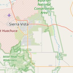
USGS NWIS Stream/River/Lake Site 09537500: WHITEWATER DRAW NEAR DOUGLAS, AZ.
Map
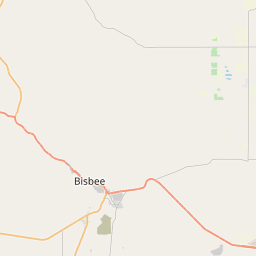
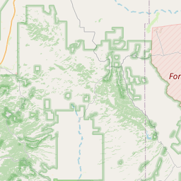
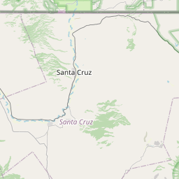
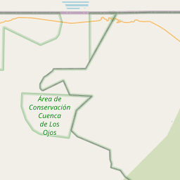

Leaflet | <a href="https://www.openstreetmap.org/copyright">© OpenStreetMap contributors</a>
Item
| Property | Value |
|---|---|
| id | 1013025 |
| cluster | None |
| dasqkm_diff | -498.3 |
| description | USGS NWIS Stream/River/Lake Site 09537500: WHITEWATER DRAW NEAR DOUGLAS, AZ. |
| fid | 12160 |
| gage_totdasqkm | 2649.6 |
| mainstem_uri | https://geoconnex.us/ref/mainstems/1899734 |
| name | WHITEWATER DRAW NEAR DOUGLAS, AZ. |
| nhdpv2_comid | 20372805.0 |
| nhdpv2_link_source | https://github.com/internetofwater/ref_gages |
| nhdpv2_offset_m | 28.0476893022397 |
| nhdpv2_reach_measure | 53.0989 |
| nhdpv2_reachcode | 15080301000003 |
| nhdpv2_totdasqkm | 2151.3 |
| nws_url | https://water.noaa.gov/gauges/WWDA3 |
| provider | https://waterdata.usgs.gov |
| provider_id | 09537500 |
| subjectof | https://waterdata.usgs.gov/monitoring-location/09537500 |
| uri | https://geoconnex.us/ref/gages/1013025 |