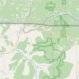
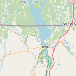
USGS NWIS Stream/River/Lake Site 04296000: BLACK RIVER AT COVENTRY, VT
Map
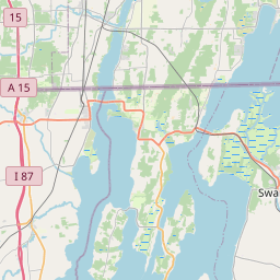
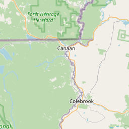

Leaflet | <a href="https://www.openstreetmap.org/copyright">© OpenStreetMap contributors</a>
Item
| Property | Value |
|---|---|
| id | 1017771 |
| cluster | None |
| dasqkm_diff | -1.5 |
| description | USGS NWIS Stream/River/Lake Site 04296000: BLACK RIVER AT COVENTRY, VT |
| fid | 16164 |
| gage_totdasqkm | 316.0 |
| mainstem_uri | https://geoconnex.us/ref/mainstems/2303985 |
| name | BLACK RIVER AT COVENTRY, VT |
| nhdpv2_comid | 4599789.0 |
| nhdpv2_link_source | https://doi.org/10.5066/P9J5CK2Y |
| nhdpv2_offset_m | 3.9513465939983 |
| nhdpv2_reach_measure | 22.366 |
| nhdpv2_reachcode | 04150500006568 |
| nhdpv2_totdasqkm | 314.5 |
| nws_url | https://water.noaa.gov/gauges/CVYV1 |
| provider | https://waterdata.usgs.gov |
| provider_id | 04296000 |
| subjectof | https://waterdata.usgs.gov/monitoring-location/04296000 |
| uri | https://geoconnex.us/ref/gages/1017771 |