USGS NWIS Stream/River/Lake Site 01643700: GOOSE CREEK NEAR MIDDLEBURG, VA
Map
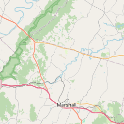

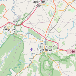
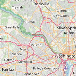
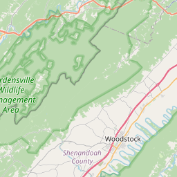


Leaflet | <a href="https://www.openstreetmap.org/copyright">© OpenStreetMap contributors</a>
Item
| Property | Value |
|---|---|
| id | 1017772 |
| cluster | None |
| dasqkm_diff | 1.19999999999999 |
| description | USGS NWIS Stream/River/Lake Site 01643700: GOOSE CREEK NEAR MIDDLEBURG, VA |
| fid | 16165 |
| gage_totdasqkm | 316.0 |
| mainstem_uri | https://geoconnex.us/ref/mainstems/2153232 |
| name | GOOSE CREEK NEAR MIDDLEBURG, VA |
| nhdpv2_comid | 4508450.0 |
| nhdpv2_link_source | https://doi.org/10.5066/P9J5CK2Y |
| nhdpv2_offset_m | 3.14785622872257 |
| nhdpv2_reach_measure | 28.936 |
| nhdpv2_reachcode | 02070008000213 |
| nhdpv2_totdasqkm | 317.2 |
| nws_url | https://water.noaa.gov/gauges/MDLV2 |
| provider | https://waterdata.usgs.gov |
| provider_id | 01643700 |
| subjectof | https://waterdata.usgs.gov/monitoring-location/01643700 |
| uri | https://geoconnex.us/ref/gages/1017772 |