USGS NWIS Stream/River/Lake Site 12506000: TOPPENISH CREEK NEAR FORT SIMCOE, WA
Map


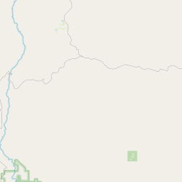
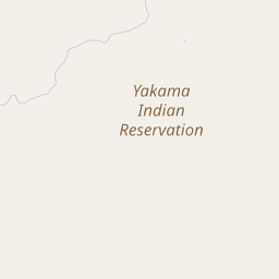

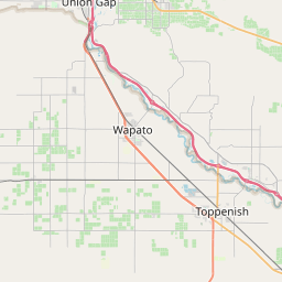
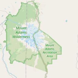
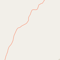
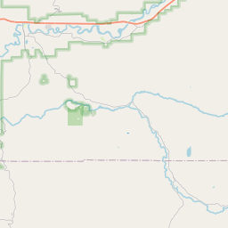
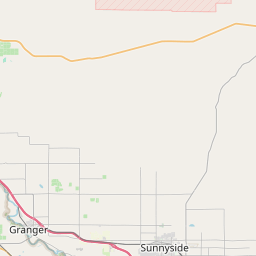


Leaflet | <a href="https://www.openstreetmap.org/copyright">© OpenStreetMap contributors</a>
Item
| Property | Value |
|---|---|
| id | 1017775 |
| cluster | None |
| dasqkm_diff | -0.800000000000011 |
| description | USGS NWIS Stream/River/Lake Site 12506000: TOPPENISH CREEK NEAR FORT SIMCOE, WA |
| fid | 16166 |
| gage_totdasqkm | 316.0 |
| mainstem_uri | https://geoconnex.us/ref/mainstems/1435037 |
| name | TOPPENISH CREEK NEAR FORT SIMCOE, WA |
| nhdpv2_comid | 23100180.0 |
| nhdpv2_link_source | https://doi.org/10.5066/P9J5CK2Y |
| nhdpv2_offset_m | 0.156552289167433 |
| nhdpv2_reach_measure | 1.211 |
| nhdpv2_reachcode | 17030003000390 |
| nhdpv2_totdasqkm | 315.2 |
| nws_url | https://water.noaa.gov/gauges/TOPW1 |
| provider | https://waterdata.usgs.gov |
| provider_id | 12506000 |
| subjectof | https://waterdata.usgs.gov/monitoring-location/12506000 |
| uri | https://geoconnex.us/ref/gages/1017775 |