Toppenish Creek
Map
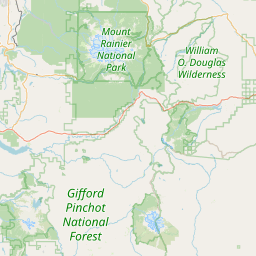
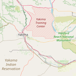
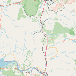
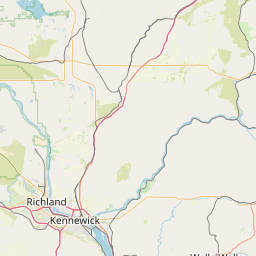
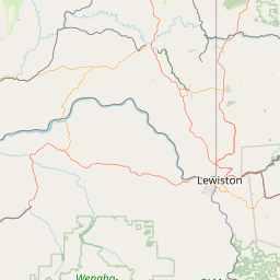
Leaflet | <a href="https://www.openstreetmap.org/copyright">© OpenStreetMap contributors</a>
Item
| Property | Value |
|---|---|
| id | 1435037 |
| downstream_mainstem_id | https://geoconnex.us/ref/mainstems/1426140 |
| encompassing_mainstem_basins | ['https://geoconnex.us/ref/mainstems/1426140', 'https://geoconnex.us/ref/mainstems/1423587'] |
| featuretype | ['https://www.opengis.net/def/schema/hy_features/hyf/HY_FlowPath', 'https://www.opengis.net/def/schema/hy_features/hyf/HY_WaterBody'] |
| fid | 29361 |
| head_2020huc12 | 170300030602 |
| head_nhdpv1_comid | 23100238 |
| head_nhdpv2_comid | https://geoconnex.us/nhdplusv2/comid/23100238 |
| head_nhdpv2huc12 | https://geoconnex.us/nhdplusv2/huc12/170300030602 |
| head_rf1id | 55470 |
| lengthkm | 114.2 |
| name_at_outlet | Toppenish Creek |
| name_at_outlet_gnis_id | 1527312 |
| new_mainstemid | |
| outlet_2020huc12 | 170300030607 |
| outlet_drainagearea_sqkm | 1205.5 |
| outlet_nhdpv1_comid | 23100020 |
| outlet_nhdpv2_comid | https://geoconnex.us/nhdplusv2/comid/23100020 |
| outlet_nhdpv2huc12 | https://geoconnex.us/nhdplusv2/huc12/170300030607 |
| outlet_rf1id | 55460 |
| superseded | False |
| uri | https://geoconnex.us/ref/mainstems/1435037 |
Graph Results
| monitoringLocation | https://sta.geoconnex.dev/collections/USGS/Things/items/'USGS-12506000' |
|---|---|
| siteName | USGS-12506000 |
| datasetDescription | Gage height / USGS-12506000-9c93e35ab1ed443bac3ba49a9c20b507 |
| type | Stream |
| url | https://waterdata.usgs.gov/monitoring-location/12506000/#parameterCode=00065 |
| variableMeasured | Gage height / USGS-12506000-9c93e35ab1ed443bac3ba49a9c20b507 |
| variableUnit | ft |
| measurementTechnique | observation |
| temporalCoverage | 2024-08-30T09:15:00Z/2024-09-09T18:45:00Z |
| distributionName | USGS Instantaneous Values Service |
| distributionURL | https://waterservices.usgs.gov/nwis/iv/?sites=USGS:12506000¶meterCd=00065&format=rdb |
| distributionFormat | text/tab-separated-values |
| wkt | POINT (-120.788125044116 46.3109589419962) |
| monitoringLocation | https://sta.geoconnex.dev/collections/USGS/Things/items/'USGS-12506000' |
|---|---|
| siteName | USGS-12506000 |
| datasetDescription | Gage height / USGS-12506000-9c93e35ab1ed443bac3ba49a9c20b507 |
| type | Stream |
| url | https://waterdata.usgs.gov/monitoring-location/12506000/#parameterCode=00065 |
| variableMeasured | Gage height / USGS-12506000-9c93e35ab1ed443bac3ba49a9c20b507 |
| variableUnit | ft |
| measurementTechnique | observation |
| temporalCoverage | 2024-08-30T09:15:00Z/2024-09-09T18:45:00Z |
| distributionName | USGS SensorThings API |
| distributionURL | https://labs.waterdata.usgs.gov/sta/v1.1/Datastreams('9c93e35ab1ed443bac3ba49a9c20b507')?$expand=Thing,Observations |
| distributionFormat | application/json |
| wkt | POINT (-120.788125044116 46.3109589419962) |
| monitoringLocation | https://sta.geoconnex.dev/collections/USGS/Things/items/'USGS-12506000' |
|---|---|
| siteName | USGS-12506000 |
| datasetDescription | Discharge / USGS-12506000-c9d0e107ecc0465f883309ba116f4d6b |
| type | Stream |
| url | https://waterdata.usgs.gov/monitoring-location/12506000/#parameterCode=00060 |
| variableMeasured | Discharge / USGS-12506000-c9d0e107ecc0465f883309ba116f4d6b |
| variableUnit | ft^3/s |
| measurementTechnique | observation |
| temporalCoverage | 2024-08-30T09:15:00Z/2024-09-09T18:45:00Z |
| distributionName | USGS Instantaneous Values Service |
| distributionURL | https://waterservices.usgs.gov/nwis/iv/?sites=USGS:12506000¶meterCd=00060&format=rdb |
| distributionFormat | text/tab-separated-values |
| wkt | POINT (-120.788125044116 46.3109589419962) |
| monitoringLocation | https://sta.geoconnex.dev/collections/USGS/Things/items/'USGS-12506000' |
|---|---|
| siteName | USGS-12506000 |
| datasetDescription | Discharge / USGS-12506000-c9d0e107ecc0465f883309ba116f4d6b |
| type | Stream |
| url | https://waterdata.usgs.gov/monitoring-location/12506000/#parameterCode=00060 |
| variableMeasured | Discharge / USGS-12506000-c9d0e107ecc0465f883309ba116f4d6b |
| variableUnit | ft^3/s |
| measurementTechnique | observation |
| temporalCoverage | 2024-08-30T09:15:00Z/2024-09-09T18:45:00Z |
| distributionName | USGS SensorThings API |
| distributionURL | https://labs.waterdata.usgs.gov/sta/v1.1/Datastreams('c9d0e107ecc0465f883309ba116f4d6b')?$expand=Thing,Observations |
| distributionFormat | application/json |
| wkt | POINT (-120.788125044116 46.3109589419962) |