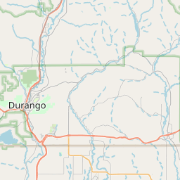
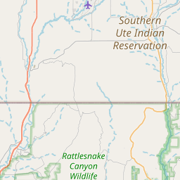
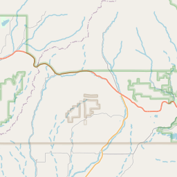
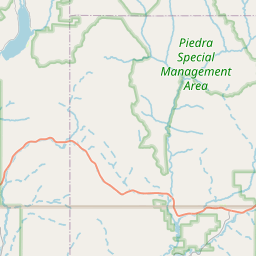
USGS NWIS Stream/River/Lake Site 09363100: SALT CREEK NEAR OXFORD, CO.
Map

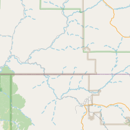

Leaflet | <a href="https://www.openstreetmap.org/copyright">© OpenStreetMap contributors</a>
Item
| Property | Value |
|---|---|
| id | 1026145 |
| cluster | https://geoconnex.us/ref/gages/1190495 |
| dasqkm_diff | 1.7 |
| description | USGS NWIS Stream/River/Lake Site 09363100: SALT CREEK NEAR OXFORD, CO. |
| fid | 176706 |
| gage_totdasqkm | 45.8 |
| mainstem_uri | https://geoconnex.us/ref/mainstems/99051 |
| name | SALT CREEK NEAR OXFORD, CO. |
| nhdpv2_comid | 17015255.0 |
| nhdpv2_link_source | https://doi.org/10.5066/P9J5CK2Y |
| nhdpv2_offset_m | 27.1949058640514 |
| nhdpv2_reach_measure | 12.9093632538 |
| nhdpv2_reachcode | 14080104000046 |
| nhdpv2_totdasqkm | 47.5 |
| nws_url | None |
| provider | https://waterdata.usgs.gov |
| provider_id | 09363100 |
| subjectof | https://waterdata.usgs.gov/monitoring-location/09363100 |
| uri | https://geoconnex.us/ref/gages/1026145 |