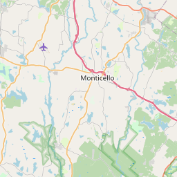
USGS NWIS Stream/River/Lake Site 01432865: MIDDLE MONGAUP RIVER AT HARRIS NY
Map


Leaflet | <a href="https://www.openstreetmap.org/copyright">© OpenStreetMap contributors</a>
Item
| Property | Value |
|---|---|
| id | 1027437 |
| cluster | None |
| dasqkm_diff | 0.399999999999999 |
| description | USGS NWIS Stream/River/Lake Site 01432865: MIDDLE MONGAUP RIVER AT HARRIS NY |
| fid | 24274 |
| gage_totdasqkm | 47.7 |
| mainstem_uri | None |
| name | MIDDLE MONGAUP RIVER AT HARRIS NY |
| nhdpv2_comid | 4147514.0 |
| nhdpv2_link_source | https://github.com/internetofwater/ref_gages |
| nhdpv2_offset_m | 45.8286586370859 |
| nhdpv2_reach_measure | 0.0 |
| nhdpv2_reachcode | 02040104000204 |
| nhdpv2_totdasqkm | 48.1 |
| nws_url | None |
| provider | https://waterdata.usgs.gov |
| provider_id | 01432865 |
| subjectof | https://waterdata.usgs.gov/monitoring-location/01432865 |
| uri | https://geoconnex.us/ref/gages/1027437 |