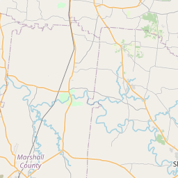
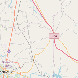
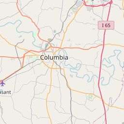
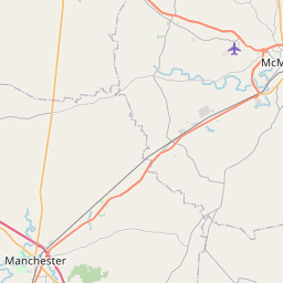
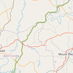
USGS NWIS Stream/River/Lake Site 0359816920: HUTTON CREEK AT U.S. HWY 231 NEAR DEASON, TN
Map

Leaflet | <a href="https://www.openstreetmap.org/copyright">© OpenStreetMap contributors</a>
Item
| Property | Value |
|---|---|
| id | 1031615 |
| cluster | None |
| dasqkm_diff | -0.0999999999999996 |
| description | USGS NWIS Stream/River/Lake Site 0359816920: HUTTON CREEK AT U.S. HWY 231 NEAR DEASON, TN |
| fid | 27936 |
| gage_totdasqkm | 6.6 |
| mainstem_uri | None |
| name | HUTTON CREEK AT U.S. HWY 231 NEAR DEASON, TN |
| nhdpv2_comid | 19530890.0 |
| nhdpv2_link_source | https://github.com/internetofwater/ref_gages |
| nhdpv2_offset_m | 23.7247986251719 |
| nhdpv2_reach_measure | 75.2917 |
| nhdpv2_reachcode | 06040002000697 |
| nhdpv2_totdasqkm | 6.5 |
| nws_url | None |
| provider | https://waterdata.usgs.gov |
| provider_id | 0359816920 |
| subjectof | https://waterdata.usgs.gov/monitoring-location/0359816920 |
| uri | https://geoconnex.us/ref/gages/1031615 |