USGS NWIS Stream/River/Lake Site 09169500: DOLORES RIVER AT BEDROCK, CO
Map
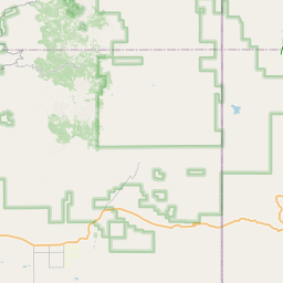

Leaflet | <a href="https://www.openstreetmap.org/copyright">© OpenStreetMap contributors</a>
Item
| Property | Value |
|---|---|
| id | 1033949 |
| cluster | https://geoconnex.us/ref/gages/1190428 |
| dasqkm_diff | 1.40000000000055 |
| description | USGS NWIS Stream/River/Lake Site 09169500: DOLORES RIVER AT BEDROCK, CO |
| fid | 177613 |
| gage_totdasqkm | 5244.7 |
| mainstem_uri | https://geoconnex.us/ref/mainstems/34022 |
| name | DOLORES RIVER AT BEDROCK, CO |
| nhdpv2_comid | 18382377.0 |
| nhdpv2_link_source | https://doi.org/10.5066/P9J5CK2Y |
| nhdpv2_offset_m | 68.1124475402769 |
| nhdpv2_reach_measure | 52.512497209 |
| nhdpv2_reachcode | 14030002000026 |
| nhdpv2_totdasqkm | 5246.1 |
| provider | https://waterdata.usgs.gov |
| provider_id | 09169500 |
| subjectof | https://waterdata.usgs.gov/monitoring-location/09169500 |
| uri | https://geoconnex.us/ref/gages/1033949 |