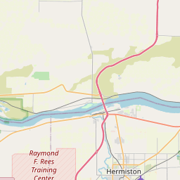
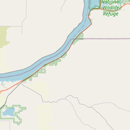
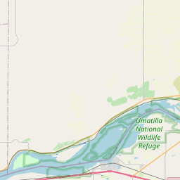
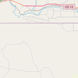
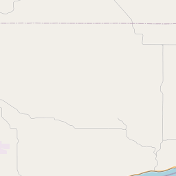
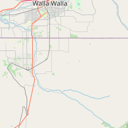
USGS NWIS Stream/River/Lake Site 14019200: COLUMBIA RIVER AT MCNARY DAM,NEAR UMATILLA, OR
Map

Leaflet | <a href="https://www.openstreetmap.org/copyright">© OpenStreetMap contributors</a>
Item
| Property | Value |
|---|---|
| id | 1035170 |
| cluster | None |
| dasqkm_diff | -44541.7 |
| description | USGS NWIS Stream/River/Lake Site 14019200: COLUMBIA RIVER AT MCNARY DAM,NEAR UMATILLA, OR |
| fid | 31037 |
| gage_totdasqkm | 554257.9 |
| mainstem_uri | https://geoconnex.us/ref/mainstems/1423587 |
| name | COLUMBIA RIVER AT MCNARY DAM,NEAR UMATILLA, OR |
| nhdpv2_comid | 24233056.0 |
| nhdpv2_link_source | https://github.com/internetofwater/ref_gages |
| nhdpv2_offset_m | 424.600604087229 |
| nhdpv2_reach_measure | 55.9278 |
| nhdpv2_reachcode | 17070101000045 |
| nhdpv2_totdasqkm | 509716.2 |
| nws_url | None |
| provider | https://waterdata.usgs.gov |
| provider_id | 14019200 |
| subjectof | https://waterdata.usgs.gov/monitoring-location/14019200 |
| uri | https://geoconnex.us/ref/gages/1035170 |