USGS NWIS Stream/River/Lake Site 01440400: Brodhead Creek near Analomink, PA
Map
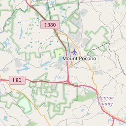
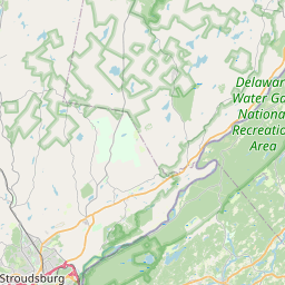
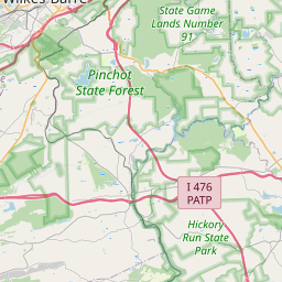
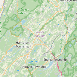


Leaflet | <a href="https://www.openstreetmap.org/copyright">© OpenStreetMap contributors</a>
Item
| Property | Value |
|---|---|
| id | 1066955 |
| cluster | None |
| dasqkm_diff | 8.40000000000001 |
| description | USGS NWIS Stream/River/Lake Site 01440400: Brodhead Creek near Analomink, PA |
| fid | 188315 |
| gage_totdasqkm | 170.7 |
| mainstem_uri | https://geoconnex.us/ref/mainstems/2123592 |
| name | Brodhead Creek near Analomink, PA |
| nhdpv2_comid | 4153166.0 |
| nhdpv2_link_source | https://doi.org/10.5066/P9J5CK2Y |
| nhdpv2_offset_m | 56.0721167797043 |
| nhdpv2_reach_measure | 5.22064123684 |
| nhdpv2_reachcode | 02040104000377 |
| nhdpv2_totdasqkm | 179.1 |
| nws_url | https://water.noaa.gov/gauges/ALKP1 |
| provider | https://waterdata.usgs.gov |
| provider_id | 01440400 |
| subjectof | https://waterdata.usgs.gov/monitoring-location/01440400 |
| uri | https://geoconnex.us/ref/gages/1066955 |