USGS NWIS Stream/River/Lake Site 14220200: LEWIS RIVER AT MERWIN DAM AT ARIEL, WA
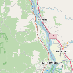
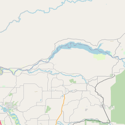
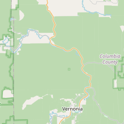
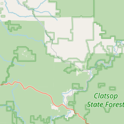
Map


Leaflet | <a href="https://www.openstreetmap.org/copyright">© OpenStreetMap contributors</a>
Item
| Property | Value |
|---|---|
| id | 1177946 |
| cluster | None |
| dasqkm_diff | None |
| description | USGS NWIS Stream/River/Lake Site 14220200: LEWIS RIVER AT MERWIN DAM AT ARIEL, WA |
| fid | 165829 |
| gage_totdasqkm | None |
| mainstem_uri | https://geoconnex.us/ref/mainstems/1431285 |
| name | LEWIS RIVER AT MERWIN DAM AT ARIEL, WA |
| nhdpv2_comid | 24241843.0 |
| nhdpv2_link_source | https://github.com/internetofwater/ref_gages |
| nhdpv2_offset_m | 65.5867688223124 |
| nhdpv2_reach_measure | 89.0406 |
| nhdpv2_reachcode | 17080002000121 |
| nhdpv2_totdasqkm | 1897.0 |
| nws_url | None |
| provider | https://waterdata.usgs.gov |
| provider_id | 14220200 |
| subjectof | https://waterdata.usgs.gov/monitoring-location/14220200 |
| uri | https://geoconnex.us/ref/gages/1177946 |