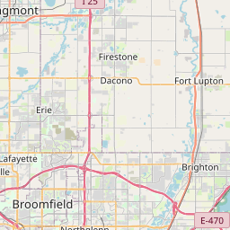
CO DWR Station Type: Diversion from data source: Cooperative Program of CDWR, NCWCD & LSPWCD
Map


Leaflet | <a href="https://www.openstreetmap.org/copyright">© OpenStreetMap contributors</a>
Item
| Property | Value |
|---|---|
| id | 1190648 |
| cluster | https://geoconnex.us/ref/gages/1190430 |
| dasqkm_diff | None |
| description | CO DWR Station Type: Diversion from data source: Cooperative Program of CDWR, NCWCD & LSPWCD |
| fid | 167023 |
| gage_totdasqkm | None |
| mainstem_uri | https://geoconnex.us/ref/mainstems/381404 |
| name | RURAL DITCH |
| nhdpv2_comid | 2888998.0 |
| nhdpv2_link_source | https://github.com/internetofwater/ref_gages |
| nhdpv2_offset_m | 18.3220305525535 |
| nhdpv2_reach_measure | 66.4165 |
| nhdpv2_reachcode | 10190005000077 |
| nhdpv2_totdasqkm | 1181.1 |
| provider | https://dwr.state.co.us |
| provider_id | RURDITCO |
| subjectof | https://dwr.state.co.us/Tools/Stations/RURDITCO |
| uri | https://geoconnex.us/ref/gages/1190648 |