Firth River
Map
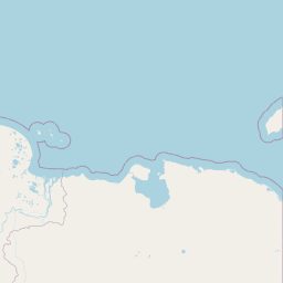

Leaflet | <a href="https://www.openstreetmap.org/copyright">© OpenStreetMap contributors</a>
Item
| Property | Value |
|---|---|
| id | 19060505 |
| fid | 2297 |
| gnis_id | None |
| gnis_url | |
| hucs | https://geoconnex.us/ref/hu10/1906050507 https://geoconnex.us/ref/hu10/1906050508 https://geoconnex.us/ref/hu10/1906050504 https://geoconnex.us/ref/hu10/1906050506 https://geoconnex.us/ref/hu10/1906050503 https://geoconnex.us/ref/hu10/1906050501 https://geoconnex.us/ref/hu10/1906050505 https://geoconnex.us/ref/hu10/1906050502 https://geoconnex.us/ref/hu10/1906050509 |
| loaddate | 2019-02-04 02:09:08+00:00 |
| name | Firth River |
| uri | https://geoconnex.us/ref/hu08/19060505 |