Flint River
Map
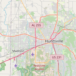
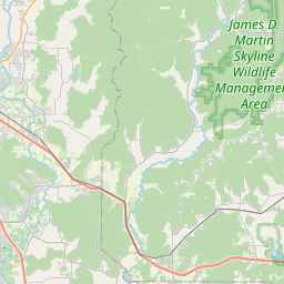
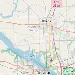
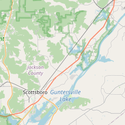
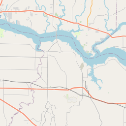
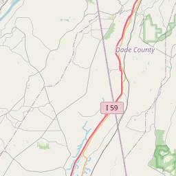
Leaflet | <a href="https://www.openstreetmap.org/copyright">© OpenStreetMap contributors</a>
Item
| Property | Value |
|---|---|
| id | 1362310 |
| downstream_mainstem_id | https://geoconnex.us/ref/mainstems/352986 |
| encompassing_mainstem_basins | ['https://geoconnex.us/ref/mainstems/352986', 'https://geoconnex.us/ref/mainstems/316088', 'https://geoconnex.us/ref/mainstems/314849', 'https://geoconnex.us/ref/mainstems/312091'] |
| featuretype | ['https://www.opengis.net/def/schema/hy_features/hyf/HY_FlowPath', 'https://www.opengis.net/def/schema/hy_features/hyf/HY_WaterBody'] |
| fid | 33729 |
| head_2020huc12 | |
| head_nhdpv1_comid | 19620190 |
| head_nhdpv2_comid | https://geoconnex.us/nhdplusv2/comid/19620190 |
| head_nhdpv2huc12 | |
| head_rf1id | None |
| lengthkm | 7.4 |
| name_at_outlet | Flint River |
| name_at_outlet_gnis_id | 118436 |
| new_mainstemid | |
| outlet_2020huc12 | |
| outlet_drainagearea_sqkm | 56.4 |
| outlet_nhdpv1_comid | 19620372 |
| outlet_nhdpv2_comid | https://geoconnex.us/nhdplusv2/comid/19620372 |
| outlet_nhdpv2huc12 | |
| outlet_rf1id | None |
| superseded | False |
| uri | https://geoconnex.us/ref/mainstems/1362310 |