Stump Creek
Map
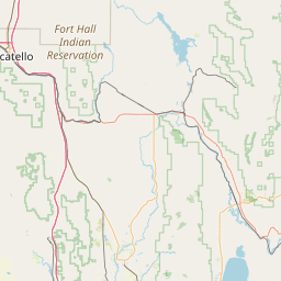
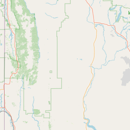
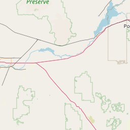
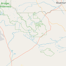
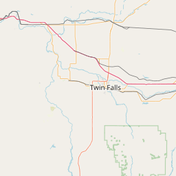
Leaflet | <a href="https://www.openstreetmap.org/copyright">© OpenStreetMap contributors</a>
Item
| Property | Value |
|---|---|
| id | 1442186 |
| downstream_mainstem_id | https://geoconnex.us/ref/mainstems/1429513 |
| encompassing_mainstem_basins | ['https://geoconnex.us/ref/mainstems/1429513', 'https://geoconnex.us/ref/mainstems/1423796', 'https://geoconnex.us/ref/mainstems/1423587'] |
| featuretype | ['https://www.opengis.net/def/schema/hy_features/hyf/HY_FlowPath', 'https://www.opengis.net/def/schema/hy_features/hyf/HY_WaterBody'] |
| fid | 29461 |
| head_2020huc12 | 170401050201 |
| head_nhdpv1_comid | 23135087 |
| head_nhdpv2_comid | https://geoconnex.us/nhdplusv2/comid/23135087 |
| head_nhdpv2huc12 | https://geoconnex.us/nhdplusv2/huc12/170401050202 |
| head_rf1id | 47798 |
| lengthkm | 37.4 |
| name_at_outlet | Stump Creek |
| name_at_outlet_gnis_id | 391564 |
| new_mainstemid | |
| outlet_2020huc12 | 170401050203 |
| outlet_drainagearea_sqkm | 276.3 |
| outlet_nhdpv1_comid | 23134141 |
| outlet_nhdpv2_comid | https://geoconnex.us/nhdplusv2/comid/23134141 |
| outlet_nhdpv2huc12 | https://geoconnex.us/nhdplusv2/huc12/170401050203 |
| outlet_rf1id | 47797 |
| superseded | False |
| uri | https://geoconnex.us/ref/mainstems/1442186 |