Gordon Creek
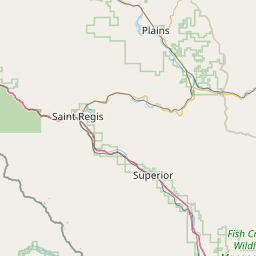
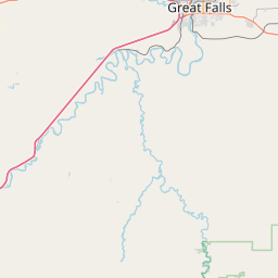
Map
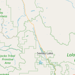
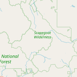
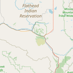
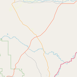
Leaflet | <a href="https://www.openstreetmap.org/copyright">© OpenStreetMap contributors</a>
Item
| Property | Value |
|---|---|
| id | 1443162 |
| downstream_mainstem_id | https://geoconnex.us/ref/mainstems/1428973 |
| encompassing_mainstem_basins | ['https://geoconnex.us/ref/mainstems/1428973', 'https://geoconnex.us/ref/mainstems/1426261', 'https://geoconnex.us/ref/mainstems/1423587'] |
| featuretype | ['https://www.opengis.net/def/schema/hy_features/hyf/HY_FlowPath', 'https://www.opengis.net/def/schema/hy_features/hyf/HY_WaterBody'] |
| fid | 28839 |
| head_2020huc12 | 170102090201 |
| head_nhdpv1_comid | 22968192 |
| head_nhdpv2_comid | https://geoconnex.us/nhdplusv2/comid/22968192 |
| head_nhdpv2huc12 | https://geoconnex.us/nhdplusv2/huc12/170102090201 |
| head_rf1id | 46399 |
| lengthkm | 30.2 |
| name_at_outlet | Gordon Creek |
| name_at_outlet_gnis_id | 784120 |
| new_mainstemid | |
| outlet_2020huc12 | 170102090202 |
| outlet_drainagearea_sqkm | 172.3 |
| outlet_nhdpv1_comid | 22965718 |
| outlet_nhdpv2_comid | https://geoconnex.us/nhdplusv2/comid/22965718 |
| outlet_nhdpv2huc12 | https://geoconnex.us/nhdplusv2/huc12/170102090202 |
| outlet_rf1id | 46397 |
| superseded | False |
| uri | https://geoconnex.us/ref/mainstems/1443162 |