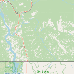
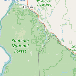
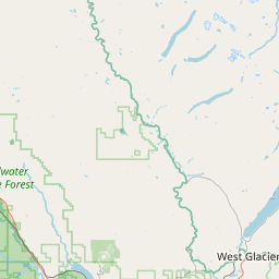
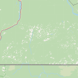
Trail Creek
Map

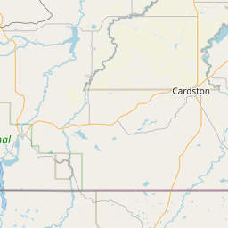
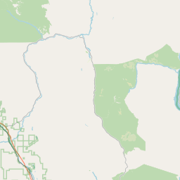
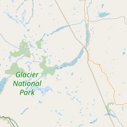
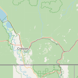
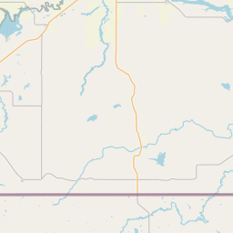
Leaflet | <a href="https://www.openstreetmap.org/copyright">© OpenStreetMap contributors</a>
Item
| Property | Value |
|---|---|
| id | 1448095 |
| downstream_mainstem_id | https://geoconnex.us/ref/mainstems/1431332 |
| encompassing_mainstem_basins | ['https://geoconnex.us/ref/mainstems/1431332', 'https://geoconnex.us/ref/mainstems/1426261', 'https://geoconnex.us/ref/mainstems/1423587'] |
| featuretype | ['https://www.opengis.net/def/schema/hy_features/hyf/HY_FlowPath', 'https://www.opengis.net/def/schema/hy_features/hyf/HY_WaterBody'] |
| fid | 28783 |
| head_2020huc12 | 170102060310 |
| head_nhdpv1_comid | 22950681 |
| head_nhdpv2_comid | https://geoconnex.us/nhdplusv2/comid/22950681 |
| head_nhdpv2huc12 | https://geoconnex.us/nhdplusv2/huc12/170102060101 |
| head_rf1id | 46225 |
| lengthkm | 29.6 |
| name_at_outlet | Trail Creek |
| name_at_outlet_gnis_id | 792318 |
| new_mainstemid | |
| outlet_2020huc12 | 170102060311 |
| outlet_drainagearea_sqkm | 179.4 |
| outlet_nhdpv1_comid | 22949821 |
| outlet_nhdpv2_comid | https://geoconnex.us/nhdplusv2/comid/22949821 |
| outlet_nhdpv2huc12 | https://geoconnex.us/nhdplusv2/huc12/170102060102 |
| outlet_rf1id | 46221 |
| superseded | False |
| uri | https://geoconnex.us/ref/mainstems/1448095 |