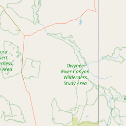
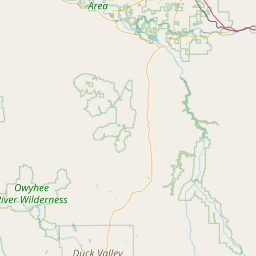
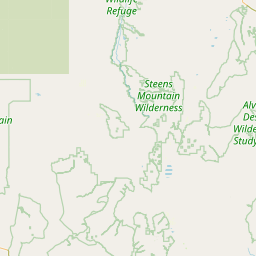
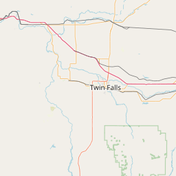
Juniper Creek
Map
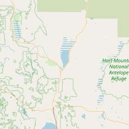
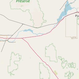
Leaflet | <a href="https://www.openstreetmap.org/copyright">© OpenStreetMap contributors</a>
Item
| Property | Value |
|---|---|
| id | 1455447 |
| downstream_mainstem_id | https://geoconnex.us/ref/mainstems/1442121 |
| encompassing_mainstem_basins | ['https://geoconnex.us/ref/mainstems/1442121', 'https://geoconnex.us/ref/mainstems/1425747', 'https://geoconnex.us/ref/mainstems/1423796', 'https://geoconnex.us/ref/mainstems/1423587'] |
| featuretype | ['https://www.opengis.net/def/schema/hy_features/hyf/HY_FlowPath', 'https://www.opengis.net/def/schema/hy_features/hyf/HY_WaterBody'] |
| fid | 29894 |
| head_2020huc12 | 170501070402 |
| head_nhdpv1_comid | 23350629 |
| head_nhdpv2_comid | https://geoconnex.us/nhdplusv2/comid/23350629 |
| head_nhdpv2huc12 | https://geoconnex.us/nhdplusv2/huc12/170501070402 |
| head_rf1id | 49070 |
| lengthkm | 19.0 |
| name_at_outlet | Juniper Creek |
| name_at_outlet_gnis_id | 373363 |
| new_mainstemid | |
| outlet_2020huc12 | 170501070402 |
| outlet_drainagearea_sqkm | 98.0 |
| outlet_nhdpv1_comid | 23350573 |
| outlet_nhdpv2_comid | https://geoconnex.us/nhdplusv2/comid/23350573 |
| outlet_nhdpv2huc12 | https://geoconnex.us/nhdplusv2/huc12/170501070402 |
| outlet_rf1id | 49066 |
| superseded | False |
| uri | https://geoconnex.us/ref/mainstems/1455447 |