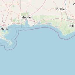
Bayou Latanier
Map


Leaflet | <a href="https://www.openstreetmap.org/copyright">© OpenStreetMap contributors</a>
Item
| Property | Value |
|---|---|
| id | 156094 |
| downstream_mainstem_id | https://geoconnex.us/ref/mainstems/237082 |
| encompassing_mainstem_basins | ['https://geoconnex.us/ref/mainstems/237082', 'https://geoconnex.us/ref/mainstems/155867', 'https://geoconnex.us/ref/mainstems/227960', 'https://geoconnex.us/ref/mainstems/225074'] |
| featuretype | ['https://www.opengis.net/def/schema/hy_features/hyf/HY_FlowPath', 'https://www.opengis.net/def/schema/hy_features/hyf/HY_WaterBody'] |
| fid | 33802 |
| head_2020huc12 | 080801020101 |
| head_nhdpv1_comid | None |
| head_nhdpv2_comid | https://geoconnex.us/nhdplusv2/comid/15144146 |
| head_nhdpv2huc12 | https://geoconnex.us/nhdplusv2/huc12/080801020103 |
| head_rf1id | 21671 |
| lengthkm | 115.9 |
| name_at_outlet | Bayou Latanier |
| name_at_outlet_gnis_id | 553480 |
| new_mainstemid | |
| outlet_2020huc12 | 080801020401 |
| outlet_drainagearea_sqkm | 861.7 |
| outlet_nhdpv1_comid | None |
| outlet_nhdpv2_comid | https://geoconnex.us/nhdplusv2/comid/15147228 |
| outlet_nhdpv2huc12 | https://geoconnex.us/nhdplusv2/huc12/080801020401 |
| outlet_rf1id | 21671 |
| superseded | False |
| uri | https://geoconnex.us/ref/mainstems/156094 |