Pintlala Creek
Map


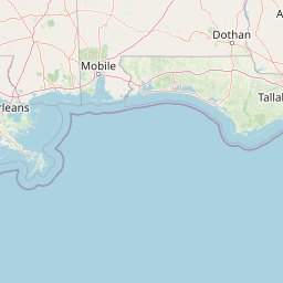
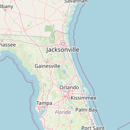


Leaflet | <a href="https://www.openstreetmap.org/copyright">© OpenStreetMap contributors</a>
Item
| Property | Value |
|---|---|
| id | 1701776 |
| downstream_mainstem_id | https://geoconnex.us/ref/mainstems/1699667 |
| encompassing_mainstem_basins | ['https://geoconnex.us/ref/mainstems/1699667'] |
| featuretype | ['https://www.opengis.net/def/schema/hy_features/hyf/HY_FlowPath', 'https://www.opengis.net/def/schema/hy_features/hyf/HY_WaterBody'] |
| fid | 5367 |
| head_2020huc12 | 031502010401 |
| head_nhdpv1_comid | 21688942 |
| head_nhdpv2_comid | https://geoconnex.us/nhdplusv2/comid/21688942 |
| head_nhdpv2huc12 | https://geoconnex.us/nhdplusv2/huc12/031502010401 |
| head_rf1id | 8554 |
| lengthkm | 78.2 |
| name_at_outlet | Pintlala Creek |
| name_at_outlet_gnis_id | 152952 |
| new_mainstemid | |
| outlet_2020huc12 | 031502010407 |
| outlet_drainagearea_sqkm | 686.9 |
| outlet_nhdpv1_comid | 21687374 |
| outlet_nhdpv2_comid | https://geoconnex.us/nhdplusv2/comid/21687374 |
| outlet_nhdpv2huc12 | https://geoconnex.us/nhdplusv2/huc12/031502010407 |
| outlet_rf1id | 8550 |
| superseded | False |
| uri | https://geoconnex.us/ref/mainstems/1701776 |