Bishop Creek
Map
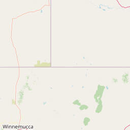
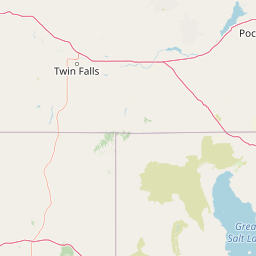
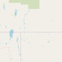

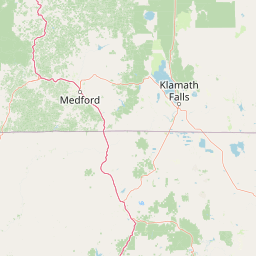

Leaflet | <a href="https://www.openstreetmap.org/copyright">© OpenStreetMap contributors</a>
Item
| Property | Value |
|---|---|
| id | 1935680 |
| downstream_mainstem_id | https://geoconnex.us/ref/mainstems/1934828 |
| encompassing_mainstem_basins | ['https://geoconnex.us/ref/mainstems/1934828'] |
| featuretype | ['https://www.opengis.net/def/schema/hy_features/hyf/HY_FlowPath', 'https://www.opengis.net/def/schema/hy_features/hyf/HY_WaterBody'] |
| fid | 27952 |
| head_2020huc12 | 160401010202 |
| head_nhdpv1_comid | 10779612 |
| head_nhdpv2_comid | https://geoconnex.us/nhdplusv2/comid/10779612 |
| head_nhdpv2huc12 | https://geoconnex.us/nhdplusv2/huc12/160401010202 |
| head_rf1id | 44899 |
| lengthkm | 46.2 |
| name_at_outlet | Bishop Creek |
| name_at_outlet_gnis_id | 848501 |
| new_mainstemid | |
| outlet_2020huc12 | 160401010205 |
| outlet_drainagearea_sqkm | 435.5 |
| outlet_nhdpv1_comid | 10779104 |
| outlet_nhdpv2_comid | https://geoconnex.us/nhdplusv2/comid/10779104 |
| outlet_nhdpv2huc12 | https://geoconnex.us/nhdplusv2/huc12/160401010205 |
| outlet_rf1id | 44898 |
| superseded | False |
| uri | https://geoconnex.us/ref/mainstems/1935680 |