Item 1950539
Map
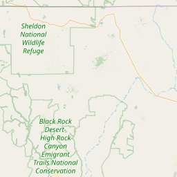
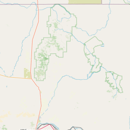
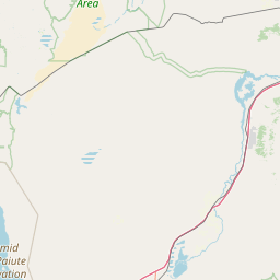
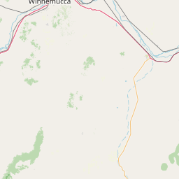
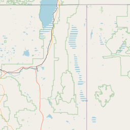
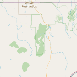
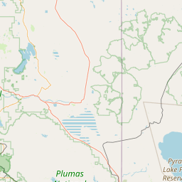
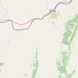
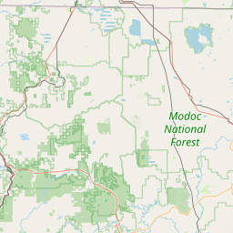

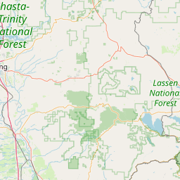
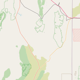
Leaflet | <a href="https://www.openstreetmap.org/copyright">© OpenStreetMap contributors</a>
Item
| Property | Value |
|---|---|
| id | 1950539 |
| downstream_mainstem_id | https://geoconnex.us/ref/mainstems/1950527 |
| encompassing_mainstem_basins | ['https://geoconnex.us/ref/mainstems/1950527', 'https://geoconnex.us/ref/mainstems/1950446'] |
| featuretype | ['https://www.opengis.net/def/schema/hy_features/hyf/HY_FlowPath', 'https://www.opengis.net/def/schema/hy_features/hyf/HY_WaterBody'] |
| fid | 28128 |
| head_2020huc12 | 160402020801 |
| head_nhdpv1_comid | 11283424 |
| head_nhdpv2_comid | https://geoconnex.us/nhdplusv2/comid/11283424 |
| head_nhdpv2huc12 | https://geoconnex.us/nhdplusv2/huc12/160402020801 |
| head_rf1id | 45105 |
| lengthkm | 61.5 |
| name_at_outlet | |
| name_at_outlet_gnis_id | None |
| new_mainstemid | |
| outlet_2020huc12 | 160402020804 |
| outlet_drainagearea_sqkm | 1110.1 |
| outlet_nhdpv1_comid | 11286082 |
| outlet_nhdpv2_comid | https://geoconnex.us/nhdplusv2/comid/11286082 |
| outlet_nhdpv2huc12 | https://geoconnex.us/nhdplusv2/huc12/160402020804 |
| outlet_rf1id | 45105 |
| superseded | False |
| uri | https://geoconnex.us/ref/mainstems/1950539 |