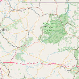
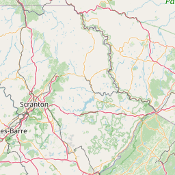
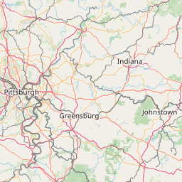
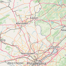
Fishing Creek
Map
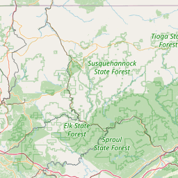
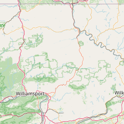
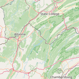
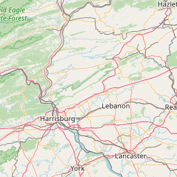
Leaflet | <a href="https://www.openstreetmap.org/copyright">© OpenStreetMap contributors</a>
Item
| Property | Value |
|---|---|
| id | 196792 |
| downstream_mainstem_id | https://geoconnex.us/ref/mainstems/195650 |
| encompassing_mainstem_basins | ['https://geoconnex.us/ref/mainstems/195650', 'https://geoconnex.us/ref/mainstems/194819', 'https://geoconnex.us/ref/mainstems/194408'] |
| featuretype | ['https://www.opengis.net/def/schema/hy_features/hyf/HY_FlowPath', 'https://www.opengis.net/def/schema/hy_features/hyf/HY_WaterBody'] |
| fid | 1611 |
| head_2020huc12 | 020502040301 |
| head_nhdpv1_comid | 8139486 |
| head_nhdpv2_comid | https://geoconnex.us/nhdplusv2/comid/8139486 |
| head_nhdpv2huc12 | https://geoconnex.us/nhdplusv2/huc12/020502040301 |
| head_rf1id | 3287 |
| lengthkm | 66.7 |
| name_at_outlet | Fishing Creek |
| name_at_outlet_gnis_id | 1174841 |
| new_mainstemid | |
| outlet_2020huc12 | 020502040305 |
| outlet_drainagearea_sqkm | 470.0 |
| outlet_nhdpv1_comid | 8139704 |
| outlet_nhdpv2_comid | https://geoconnex.us/nhdplusv2/comid/8139704 |
| outlet_nhdpv2huc12 | https://geoconnex.us/nhdplusv2/huc12/020502040305 |
| outlet_rf1id | 3287 |
| superseded | False |
| uri | https://geoconnex.us/ref/mainstems/196792 |