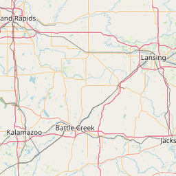
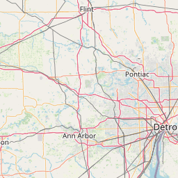
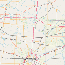
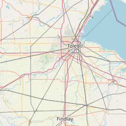
Macon Creek
Map
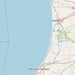
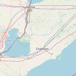
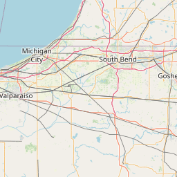
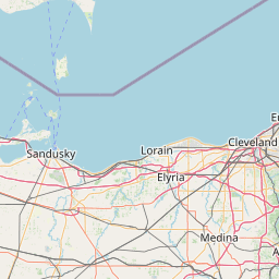
Leaflet | <a href="https://www.openstreetmap.org/copyright">© OpenStreetMap contributors</a>
Item
| Property | Value |
|---|---|
| id | 2060100 |
| downstream_mainstem_id | https://geoconnex.us/ref/mainstems/2060002 |
| encompassing_mainstem_basins | ['https://geoconnex.us/ref/mainstems/2060002'] |
| featuretype | ['https://www.opengis.net/def/schema/hy_features/hyf/HY_FlowPath', 'https://www.opengis.net/def/schema/hy_features/hyf/HY_WaterBody'] |
| fid | 7065 |
| head_2020huc12 | 041000020404 |
| head_nhdpv1_comid | 13226768 |
| head_nhdpv2_comid | https://geoconnex.us/nhdplusv2/comid/13226768 |
| head_nhdpv2huc12 | https://geoconnex.us/nhdplusv2/huc12/041000020404 |
| head_rf1id | 11204 |
| lengthkm | 35.7 |
| name_at_outlet | Macon Creek |
| name_at_outlet_gnis_id | 631305 |
| new_mainstemid | |
| outlet_2020huc12 | 041000020408 |
| outlet_drainagearea_sqkm | 367.1 |
| outlet_nhdpv1_comid | 13228924 |
| outlet_nhdpv2_comid | https://geoconnex.us/nhdplusv2/comid/13228924 |
| outlet_nhdpv2huc12 | https://geoconnex.us/nhdplusv2/huc12/041000020408 |
| outlet_rf1id | 11201 |
| superseded | False |
| uri | https://geoconnex.us/ref/mainstems/2060100 |