Dead Brook
Map
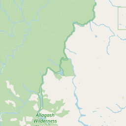
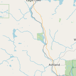
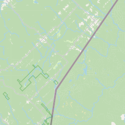
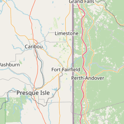
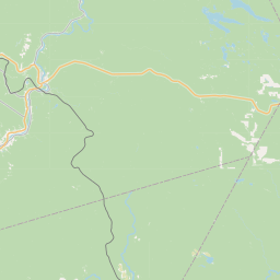
Leaflet | <a href="https://www.openstreetmap.org/copyright">© OpenStreetMap contributors</a>
Item
| Property | Value |
|---|---|
| id | 2242158 |
| downstream_mainstem_id | https://geoconnex.us/ref/mainstems/2241727 |
| encompassing_mainstem_basins | ['https://geoconnex.us/ref/mainstems/2241727', 'https://geoconnex.us/ref/mainstems/2241625'] |
| featuretype | ['https://www.opengis.net/def/schema/hy_features/hyf/HY_FlowPath', 'https://www.opengis.net/def/schema/hy_features/hyf/HY_WaterBody'] |
| fid | 43 |
| head_2020huc12 | |
| head_nhdpv1_comid | 805527 |
| head_nhdpv2_comid | https://geoconnex.us/nhdplusv2/comid/805527 |
| head_nhdpv2huc12 | |
| head_rf1id | 155 |
| lengthkm | 9.8 |
| name_at_outlet | Dead Brook |
| name_at_outlet_gnis_id | 564858 |
| new_mainstemid | |
| outlet_2020huc12 | |
| outlet_drainagearea_sqkm | 57.9 |
| outlet_nhdpv1_comid | 804953 |
| outlet_nhdpv2_comid | https://geoconnex.us/nhdplusv2/comid/804953 |
| outlet_nhdpv2huc12 | |
| outlet_rf1id | 155 |
| superseded | False |
| uri | https://geoconnex.us/ref/mainstems/2242158 |