Ship Pond Stream
Map
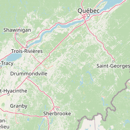

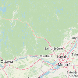
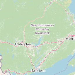
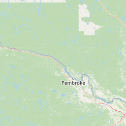
Leaflet | <a href="https://www.openstreetmap.org/copyright">© OpenStreetMap contributors</a>
Item
| Property | Value |
|---|---|
| id | 2245389 |
| downstream_mainstem_id | https://geoconnex.us/ref/mainstems/2244791 |
| encompassing_mainstem_basins | ['https://geoconnex.us/ref/mainstems/2244791', 'https://geoconnex.us/ref/mainstems/2244663', 'https://geoconnex.us/ref/mainstems/1815586'] |
| featuretype | ['https://www.opengis.net/def/schema/hy_features/hyf/HY_FlowPath', 'https://www.opengis.net/def/schema/hy_features/hyf/HY_WaterBody'] |
| fid | 201 |
| head_2020huc12 | 010200040307 |
| head_nhdpv1_comid | 1723415 |
| head_nhdpv2_comid | https://geoconnex.us/nhdplusv2/comid/1723415 |
| head_nhdpv2huc12 | https://geoconnex.us/nhdplusv2/huc12/010200040307 |
| head_rf1id | 1897 |
| lengthkm | 38.3 |
| name_at_outlet | Ship Pond Stream |
| name_at_outlet_gnis_id | 575416 |
| new_mainstemid | |
| outlet_2020huc12 | 010200040309 |
| outlet_drainagearea_sqkm | 241.4 |
| outlet_nhdpv1_comid | 1723207 |
| outlet_nhdpv2_comid | https://geoconnex.us/nhdplusv2/comid/1723207 |
| outlet_nhdpv2huc12 | https://geoconnex.us/nhdplusv2/huc12/010200040307 |
| outlet_rf1id | 1749 |
| superseded | False |
| uri | https://geoconnex.us/ref/mainstems/2245389 |