Spruce Mountain Brook
Map
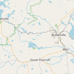
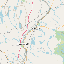
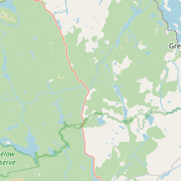
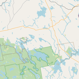
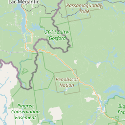
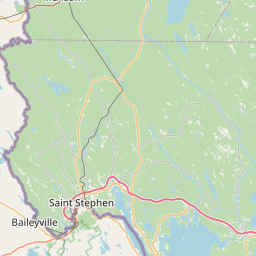
Leaflet | <a href="https://www.openstreetmap.org/copyright">© OpenStreetMap contributors</a>
Item
| Property | Value |
|---|---|
| id | 2246432 |
| downstream_mainstem_id | https://geoconnex.us/ref/mainstems/2244821 |
| encompassing_mainstem_basins | ['https://geoconnex.us/ref/mainstems/2244821', 'https://geoconnex.us/ref/mainstems/2244663', 'https://geoconnex.us/ref/mainstems/1815586'] |
| featuretype | ['https://www.opengis.net/def/schema/hy_features/hyf/HY_FlowPath', 'https://www.opengis.net/def/schema/hy_features/hyf/HY_WaterBody'] |
| fid | 196 |
| head_2020huc12 | |
| head_nhdpv1_comid | 1720763 |
| head_nhdpv2_comid | https://geoconnex.us/nhdplusv2/comid/1720763 |
| head_nhdpv2huc12 | |
| head_rf1id | 440 |
| lengthkm | 6.2 |
| name_at_outlet | Spruce Mountain Brook |
| name_at_outlet_gnis_id | 576148 |
| new_mainstemid | |
| outlet_2020huc12 | |
| outlet_drainagearea_sqkm | 68.3 |
| outlet_nhdpv1_comid | 1723571 |
| outlet_nhdpv2_comid | https://geoconnex.us/nhdplusv2/comid/1723571 |
| outlet_nhdpv2huc12 | |
| outlet_rf1id | 438 |
| superseded | False |
| uri | https://geoconnex.us/ref/mainstems/2246432 |