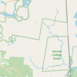
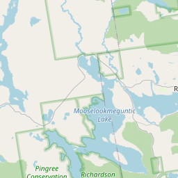
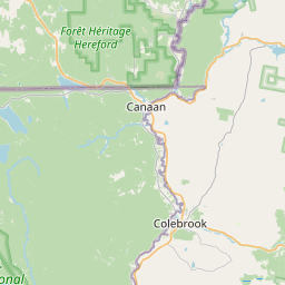
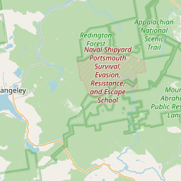
Magalloway River
Map
Leaflet | <a href="https://www.openstreetmap.org/copyright">© OpenStreetMap contributors</a>
Item
| Property | Value |
|---|---|
| id | 2258235 |
| downstream_mainstem_id | https://geoconnex.us/ref/mainstems/2257737 |
| encompassing_mainstem_basins | ['https://geoconnex.us/ref/mainstems/2257737', 'https://geoconnex.us/ref/mainstems/2257724'] |
| featuretype | ['https://www.opengis.net/def/schema/hy_features/hyf/HY_FlowPath', 'https://www.opengis.net/def/schema/hy_features/hyf/HY_WaterBody'] |
| fid | 353 |
| head_2020huc12 | 010400010302 |
| head_nhdpv1_comid | 19333577 |
| head_nhdpv2_comid | https://geoconnex.us/nhdplusv2/comid/19333577 |
| head_nhdpv2huc12 | https://geoconnex.us/nhdplusv2/huc12/010400010302 |
| head_rf1id | 734 |
| lengthkm | 84.8 |
| name_at_outlet | Magalloway River |
| name_at_outlet_gnis_id | 570648 |
| new_mainstemid | |
| outlet_2020huc12 | 010400010406 |
| outlet_drainagearea_sqkm | 1137.0 |
| outlet_nhdpv1_comid | 19334521 |
| outlet_nhdpv2_comid | https://geoconnex.us/nhdplusv2/comid/19334521 |
| outlet_nhdpv2huc12 | https://geoconnex.us/nhdplusv2/huc12/010400010406 |
| outlet_rf1id | 1954 |
| superseded | False |
| uri | https://geoconnex.us/ref/mainstems/2258235 |