Sevenmile Brook
Map
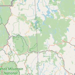
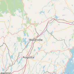
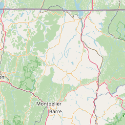
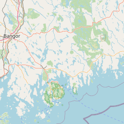
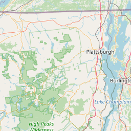
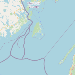
Leaflet | <a href="https://www.openstreetmap.org/copyright">© OpenStreetMap contributors</a>
Item
| Property | Value |
|---|---|
| id | 2258618 |
| downstream_mainstem_id | https://geoconnex.us/ref/mainstems/2257724 |
| encompassing_mainstem_basins | ['https://geoconnex.us/ref/mainstems/2257724'] |
| featuretype | ['https://www.opengis.net/def/schema/hy_features/hyf/HY_FlowPath', 'https://www.opengis.net/def/schema/hy_features/hyf/HY_WaterBody'] |
| fid | 297 |
| head_2020huc12 | 010300032402 |
| head_nhdpv1_comid | 3324650 |
| head_nhdpv2_comid | https://geoconnex.us/nhdplusv2/comid/3324650 |
| head_nhdpv2huc12 | |
| head_rf1id | 1653 |
| lengthkm | 30.1 |
| name_at_outlet | Sevenmile Brook |
| name_at_outlet_gnis_id | 575242 |
| new_mainstemid | |
| outlet_2020huc12 | 010300032403 |
| outlet_drainagearea_sqkm | 99.5 |
| outlet_nhdpv1_comid | 3325414 |
| outlet_nhdpv2_comid | https://geoconnex.us/nhdplusv2/comid/3325414 |
| outlet_nhdpv2huc12 | |
| outlet_rf1id | 611 |
| superseded | False |
| uri | https://geoconnex.us/ref/mainstems/2258618 |