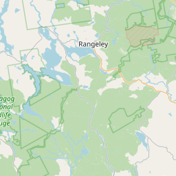
Stetson Stream
Map
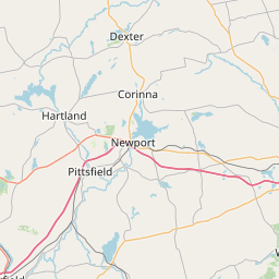
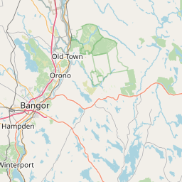
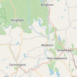
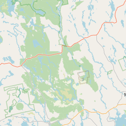
Leaflet | <a href="https://www.openstreetmap.org/copyright">© OpenStreetMap contributors</a>
Item
| Property | Value |
|---|---|
| id | 2258658 |
| downstream_mainstem_id | https://geoconnex.us/ref/mainstems/2258355 |
| encompassing_mainstem_basins | ['https://geoconnex.us/ref/mainstems/2258355', 'https://geoconnex.us/ref/mainstems/2258028', 'https://geoconnex.us/ref/mainstems/2257724'] |
| featuretype | ['https://www.opengis.net/def/schema/hy_features/hyf/HY_FlowPath', 'https://www.opengis.net/def/schema/hy_features/hyf/HY_WaterBody'] |
| fid | 307 |
| head_2020huc12 | 010300031805 |
| head_nhdpv1_comid | 3320318 |
| head_nhdpv2_comid | https://geoconnex.us/nhdplusv2/comid/3320318 |
| head_nhdpv2huc12 | https://geoconnex.us/nhdplusv2/huc12/010300031805 |
| head_rf1id | 1926 |
| lengthkm | 21.1 |
| name_at_outlet | Stetson Stream |
| name_at_outlet_gnis_id | 576312 |
| new_mainstemid | |
| outlet_2020huc12 | 010300031805 |
| outlet_drainagearea_sqkm | 104.3 |
| outlet_nhdpv1_comid | 3321836 |
| outlet_nhdpv2_comid | https://geoconnex.us/nhdplusv2/comid/3321836 |
| outlet_nhdpv2huc12 | https://geoconnex.us/nhdplusv2/huc12/010300031805 |
| outlet_rf1id | 1931 |
| superseded | False |
| uri | https://geoconnex.us/ref/mainstems/2258658 |