Dead Diamond River
Map
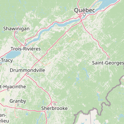

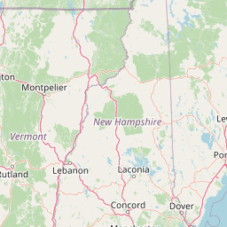
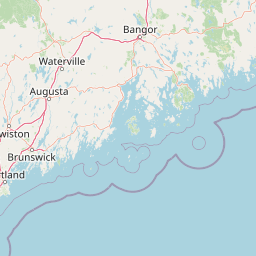
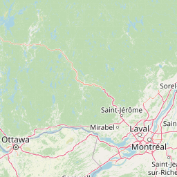
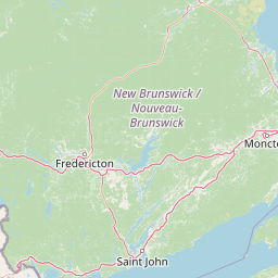
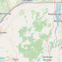
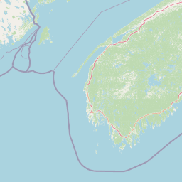
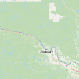
Leaflet | <a href="https://www.openstreetmap.org/copyright">© OpenStreetMap contributors</a>
Item
| Property | Value |
|---|---|
| id | 2258852 |
| downstream_mainstem_id | https://geoconnex.us/ref/mainstems/2258235 |
| encompassing_mainstem_basins | ['https://geoconnex.us/ref/mainstems/2258235', 'https://geoconnex.us/ref/mainstems/2257737', 'https://geoconnex.us/ref/mainstems/2257724'] |
| featuretype | ['https://www.opengis.net/def/schema/hy_features/hyf/HY_FlowPath', 'https://www.opengis.net/def/schema/hy_features/hyf/HY_WaterBody'] |
| fid | 354 |
| head_2020huc12 | 010400010401 |
| head_nhdpv1_comid | 19333485 |
| head_nhdpv2_comid | https://geoconnex.us/nhdplusv2/comid/19333485 |
| head_nhdpv2huc12 | https://geoconnex.us/nhdplusv2/huc12/010400010401 |
| head_rf1id | 736 |
| lengthkm | 37.5 |
| name_at_outlet | Dead Diamond River |
| name_at_outlet_gnis_id | 866512 |
| new_mainstemid | |
| outlet_2020huc12 | 010400010405 |
| outlet_drainagearea_sqkm | 396.5 |
| outlet_nhdpv1_comid | 19334261 |
| outlet_nhdpv2_comid | https://geoconnex.us/nhdplusv2/comid/19334261 |
| outlet_nhdpv2huc12 | https://geoconnex.us/nhdplusv2/huc12/010400010405 |
| outlet_rf1id | 735 |
| superseded | False |
| uri | https://geoconnex.us/ref/mainstems/2258852 |
Graph Results
| monitoringLocation | https://sta.geoconnex.dev/collections/USGS/Things/items/'USGS-01052500' |
|---|---|
| siteName | USGS-01052500 |
| datasetDescription | Discharge / USGS-01052500-a2915a5e20964fc4977e627c5c98f82a |
| type | Stream |
| url | https://waterdata.usgs.gov/monitoring-location/01052500/#parameterCode=00060 |
| variableMeasured | Discharge / USGS-01052500-a2915a5e20964fc4977e627c5c98f82a |
| variableUnit | ft^3/s |
| measurementTechnique | observation |
| temporalCoverage | 2024-08-30T09:15:00Z/2024-09-09T18:15:00Z |
| distributionName | USGS SensorThings API |
| distributionURL | https://labs.waterdata.usgs.gov/sta/v1.1/Datastreams('a2915a5e20964fc4977e627c5c98f82a')?$expand=Thing,Observations |
| distributionFormat | application/json |
| wkt | POINT (-71.0575 44.8775) |
| monitoringLocation | https://sta.geoconnex.dev/collections/USGS/Things/items/'USGS-01052500' |
|---|---|
| siteName | USGS-01052500 |
| datasetDescription | Discharge / USGS-01052500-a2915a5e20964fc4977e627c5c98f82a |
| type | Stream |
| url | https://waterdata.usgs.gov/monitoring-location/01052500/#parameterCode=00060 |
| variableMeasured | Discharge / USGS-01052500-a2915a5e20964fc4977e627c5c98f82a |
| variableUnit | ft^3/s |
| measurementTechnique | observation |
| temporalCoverage | 2024-08-30T09:15:00Z/2024-09-09T18:15:00Z |
| distributionName | USGS Instantaneous Values Service |
| distributionURL | https://waterservices.usgs.gov/nwis/iv/?sites=USGS:01052500¶meterCd=00060&format=rdb |
| distributionFormat | text/tab-separated-values |
| wkt | POINT (-71.0575 44.8775) |
| monitoringLocation | https://sta.geoconnex.dev/collections/USGS/Things/items/'USGS-01052500' |
|---|---|
| siteName | USGS-01052500 |
| datasetDescription | Gage height / USGS-01052500-eca5ee2b2bf64d28ab49f84dcd570952 |
| type | Stream |
| url | https://waterdata.usgs.gov/monitoring-location/01052500/#parameterCode=00065 |
| variableMeasured | Gage height / USGS-01052500-eca5ee2b2bf64d28ab49f84dcd570952 |
| variableUnit | ft |
| measurementTechnique | observation |
| temporalCoverage | 2024-08-30T09:15:00Z/2024-09-09T18:15:00Z |
| distributionName | USGS SensorThings API |
| distributionURL | https://labs.waterdata.usgs.gov/sta/v1.1/Datastreams('eca5ee2b2bf64d28ab49f84dcd570952')?$expand=Thing,Observations |
| distributionFormat | application/json |
| wkt | POINT (-71.0575 44.8775) |
| monitoringLocation | https://sta.geoconnex.dev/collections/USGS/Things/items/'USGS-01052500' |
|---|---|
| siteName | USGS-01052500 |
| datasetDescription | Gage height / USGS-01052500-eca5ee2b2bf64d28ab49f84dcd570952 |
| type | Stream |
| url | https://waterdata.usgs.gov/monitoring-location/01052500/#parameterCode=00065 |
| variableMeasured | Gage height / USGS-01052500-eca5ee2b2bf64d28ab49f84dcd570952 |
| variableUnit | ft |
| measurementTechnique | observation |
| temporalCoverage | 2024-08-30T09:15:00Z/2024-09-09T18:15:00Z |
| distributionName | USGS Instantaneous Values Service |
| distributionURL | https://waterservices.usgs.gov/nwis/iv/?sites=USGS:01052500¶meterCd=00065&format=rdb |
| distributionFormat | text/tab-separated-values |
| wkt | POINT (-71.0575 44.8775) |