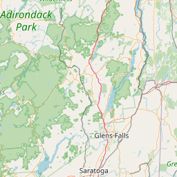
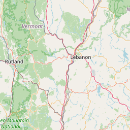
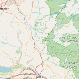
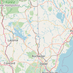
Mill Brook
Map
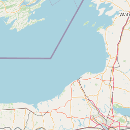
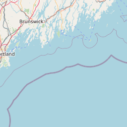
Leaflet | <a href="https://www.openstreetmap.org/copyright">© OpenStreetMap contributors</a>
Item
| Property | Value |
|---|---|
| id | 2278877 |
| downstream_mainstem_id | https://geoconnex.us/ref/mainstems/2277751 |
| encompassing_mainstem_basins | ['https://geoconnex.us/ref/mainstems/2277751'] |
| featuretype | ['https://www.opengis.net/def/schema/hy_features/hyf/HY_FlowPath', 'https://www.opengis.net/def/schema/hy_features/hyf/HY_WaterBody'] |
| fid | 678 |
| head_2020huc12 | 010801060304 |
| head_nhdpv1_comid | 9327370 |
| head_nhdpv2_comid | https://geoconnex.us/nhdplusv2/comid/9327370 |
| head_nhdpv2huc12 | https://geoconnex.us/nhdplusv2/huc12/010801060304 |
| head_rf1id | 1195 |
| lengthkm | 29.5 |
| name_at_outlet | Mill Brook |
| name_at_outlet_gnis_id | 1458462 |
| new_mainstemid | |
| outlet_2020huc12 | 010801060304 |
| outlet_drainagearea_sqkm | 115.3 |
| outlet_nhdpv1_comid | 9331204 |
| outlet_nhdpv2_comid | https://geoconnex.us/nhdplusv2/comid/9331204 |
| outlet_nhdpv2huc12 | https://geoconnex.us/nhdplusv2/huc12/010801060304 |
| outlet_rf1id | 1195 |
| superseded | False |
| uri | https://geoconnex.us/ref/mainstems/2278877 |