Farmington River
Map
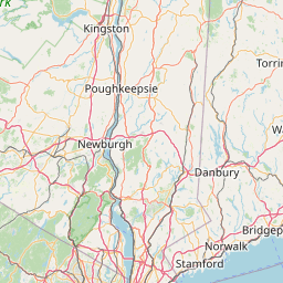
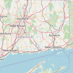
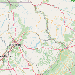
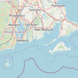
Leaflet | <a href="https://www.openstreetmap.org/copyright">© OpenStreetMap contributors</a>
Item
| Property | Value |
|---|---|
| id | 2279037 |
| downstream_mainstem_id | https://geoconnex.us/ref/mainstems/2278131 |
| encompassing_mainstem_basins | ['https://geoconnex.us/ref/mainstems/2278131', 'https://geoconnex.us/ref/mainstems/2277751'] |
| featuretype | ['https://www.opengis.net/def/schema/hy_features/hyf/HY_FlowPath', 'https://www.opengis.net/def/schema/hy_features/hyf/HY_WaterBody'] |
| fid | 776 |
| head_2020huc12 | 010802070403 |
| head_nhdpv1_comid | 6109463 |
| head_nhdpv2_comid | https://geoconnex.us/nhdplusv2/comid/6109463 |
| head_nhdpv2huc12 | https://geoconnex.us/nhdplusv2/huc12/010802070403 |
| head_rf1id | 62191 |
| lengthkm | 26.8 |
| name_at_outlet | Farmington River |
| name_at_outlet_gnis_id | 207042 |
| new_mainstemid | |
| outlet_2020huc12 | 010802070404 |
| outlet_drainagearea_sqkm | 149.7 |
| outlet_nhdpv1_comid | 6109653 |
| outlet_nhdpv2_comid | https://geoconnex.us/nhdplusv2/comid/6109653 |
| outlet_nhdpv2huc12 | https://geoconnex.us/nhdplusv2/huc12/010802070404 |
| outlet_rf1id | 62190 |
| superseded | False |
| uri | https://geoconnex.us/ref/mainstems/2279037 |
Graph Results
| monitoringLocation | https://sta.geoconnex.dev/collections/USGS/Things/items/'USGS-01189000' |
|---|---|
| siteName | USGS-01189000 |
| datasetDescription | Discharge cubic feet per second / USGS-01189000-9d170d35786b4764b68d6e044bf02281 |
| type | Stream |
| url | https://waterdata.usgs.gov/monitoring-location/01189000/#parameterCode=00060 |
| variableMeasured | Discharge |
| variableUnit | ft^3/s |
| measurementTechnique | observation |
| temporalCoverage | 2024-08-30T09:05:00Z/2024-09-09T18:15:00Z |
| distributionName | USGS Instantaneous Values Service |
| distributionURL | https://waterservices.usgs.gov/nwis/iv/?sites=USGS:01189000¶meterCd=00060&format=rdb |
| distributionFormat | text/tab-separated-values |
| wkt | POINT (-72.9006573765005 41.6731540322929) |
| monitoringLocation | https://sta.geoconnex.dev/collections/USGS/Things/items/'USGS-01189000' |
|---|---|
| siteName | USGS-01189000 |
| datasetDescription | Discharge cubic feet per second / USGS-01189000-9d170d35786b4764b68d6e044bf02281 |
| type | Stream |
| url | https://waterdata.usgs.gov/monitoring-location/01189000/#parameterCode=00060 |
| variableMeasured | Discharge |
| variableUnit | ft^3/s |
| measurementTechnique | observation |
| temporalCoverage | 2024-08-30T09:05:00Z/2024-09-09T18:15:00Z |
| distributionName | USGS SensorThings API |
| distributionURL | https://labs.waterdata.usgs.gov/sta/v1.1/Datastreams('9d170d35786b4764b68d6e044bf02281')?$expand=Thing,Observations |
| distributionFormat | application/json |
| wkt | POINT (-72.9006573765005 41.6731540322929) |
| monitoringLocation | https://sta.geoconnex.dev/collections/USGS/Things/items/'USGS-01189000' |
|---|---|
| siteName | USGS-01189000 |
| datasetDescription | Gage height feet / USGS-01189000-da2f77dc9ed44c02a67fd2fa5b9fbb2d |
| type | Stream |
| url | https://waterdata.usgs.gov/monitoring-location/01189000/#parameterCode=00065 |
| variableMeasured | Gage height |
| variableUnit | ft |
| measurementTechnique | observation |
| temporalCoverage | 2024-08-30T09:05:00Z/2024-09-09T18:15:00Z |
| distributionName | USGS Instantaneous Values Service |
| distributionURL | https://waterservices.usgs.gov/nwis/iv/?sites=USGS:01189000¶meterCd=00065&format=rdb |
| distributionFormat | text/tab-separated-values |
| wkt | POINT (-72.9006573765005 41.6731540322929) |
| monitoringLocation | https://sta.geoconnex.dev/collections/USGS/Things/items/'USGS-01189000' |
|---|---|
| siteName | USGS-01189000 |
| datasetDescription | Gage height feet / USGS-01189000-da2f77dc9ed44c02a67fd2fa5b9fbb2d |
| type | Stream |
| url | https://waterdata.usgs.gov/monitoring-location/01189000/#parameterCode=00065 |
| variableMeasured | Gage height |
| variableUnit | ft |
| measurementTechnique | observation |
| temporalCoverage | 2024-08-30T09:05:00Z/2024-09-09T18:15:00Z |
| distributionName | USGS SensorThings API |
| distributionURL | https://labs.waterdata.usgs.gov/sta/v1.1/Datastreams('da2f77dc9ed44c02a67fd2fa5b9fbb2d')?$expand=Thing,Observations |
| distributionFormat | application/json |
| wkt | POINT (-72.9006573765005 41.6731540322929) |