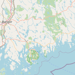
Bean Brook
Map
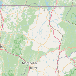
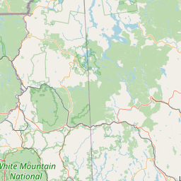
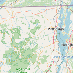
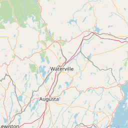
Leaflet | <a href="https://www.openstreetmap.org/copyright">© OpenStreetMap contributors</a>
Item
| Property | Value |
|---|---|
| id | 2281745 |
| downstream_mainstem_id | https://geoconnex.us/ref/mainstems/2280484 |
| encompassing_mainstem_basins | ['https://geoconnex.us/ref/mainstems/2280484', 'https://geoconnex.us/ref/mainstems/2278999', 'https://geoconnex.us/ref/mainstems/2277751'] |
| featuretype | ['https://www.opengis.net/def/schema/hy_features/hyf/HY_FlowPath', 'https://www.opengis.net/def/schema/hy_features/hyf/HY_WaterBody'] |
| fid | 636 |
| head_2020huc12 | 010801020101 |
| head_nhdpv1_comid | 4570653 |
| head_nhdpv2_comid | https://geoconnex.us/nhdplusv2/comid/4570653 |
| head_nhdpv2huc12 | https://geoconnex.us/nhdplusv2/huc12/010801020101 |
| head_rf1id | None |
| lengthkm | 14.4 |
| name_at_outlet | Bean Brook |
| name_at_outlet_gnis_id | 1456304 |
| new_mainstemid | |
| outlet_2020huc12 | 010801020101 |
| outlet_drainagearea_sqkm | 55.1 |
| outlet_nhdpv1_comid | 4570517 |
| outlet_nhdpv2_comid | https://geoconnex.us/nhdplusv2/comid/4570517 |
| outlet_nhdpv2huc12 | https://geoconnex.us/nhdplusv2/huc12/010801020101 |
| outlet_rf1id | None |
| superseded | False |
| uri | https://geoconnex.us/ref/mainstems/2281745 |