Little North Fork Wilson River
Map
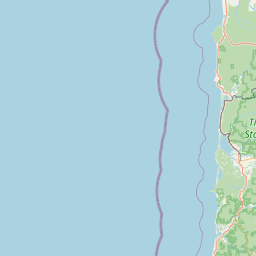
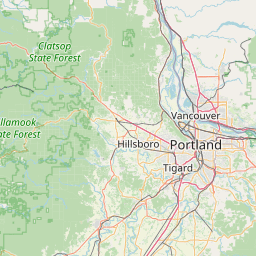

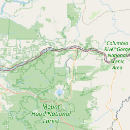

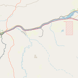
Leaflet | <a href="https://www.openstreetmap.org/copyright">© OpenStreetMap contributors</a>
Item
| Property | Value |
|---|---|
| id | 2320392 |
| downstream_mainstem_id | https://geoconnex.us/ref/mainstems/2320265 |
| encompassing_mainstem_basins | ['https://geoconnex.us/ref/mainstems/2320265', 'https://geoconnex.us/ref/mainstems/2320256'] |
| featuretype | ['https://www.opengis.net/def/schema/hy_features/hyf/HY_FlowPath', 'https://www.opengis.net/def/schema/hy_features/hyf/HY_WaterBody'] |
| fid | 31431 |
| head_2020huc12 | 171002030507 |
| head_nhdpv1_comid | 23876021 |
| head_nhdpv2_comid | https://geoconnex.us/nhdplusv2/comid/23876021 |
| head_nhdpv2huc12 | https://geoconnex.us/nhdplusv2/huc12/171002030507 |
| head_rf1id | 53068 |
| lengthkm | 18.0 |
| name_at_outlet | Little North Fork Wilson River |
| name_at_outlet_gnis_id | 1123244 |
| new_mainstemid | |
| outlet_2020huc12 | 171002030507 |
| outlet_drainagearea_sqkm | 51.1 |
| outlet_nhdpv1_comid | 23876015 |
| outlet_nhdpv2_comid | https://geoconnex.us/nhdplusv2/comid/23876015 |
| outlet_nhdpv2huc12 | https://geoconnex.us/nhdplusv2/huc12/171002030507 |
| outlet_rf1id | 53068 |
| superseded | False |
| uri | https://geoconnex.us/ref/mainstems/2320392 |