Skookum Creek
Map
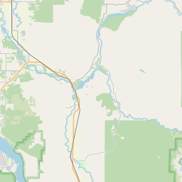
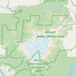
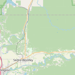
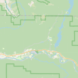

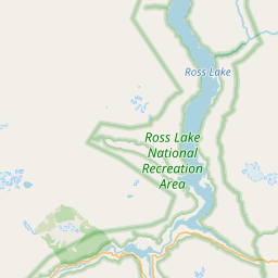
Leaflet | <a href="https://www.openstreetmap.org/copyright">© OpenStreetMap contributors</a>
Item
| Property | Value |
|---|---|
| id | 2333856 |
| downstream_mainstem_id | https://geoconnex.us/ref/mainstems/2333690 |
| encompassing_mainstem_basins | ['https://geoconnex.us/ref/mainstems/2333690', 'https://geoconnex.us/ref/mainstems/2333554'] |
| featuretype | ['https://www.opengis.net/def/schema/hy_features/hyf/HY_FlowPath', 'https://www.opengis.net/def/schema/hy_features/hyf/HY_WaterBody'] |
| fid | 31670 |
| head_2020huc12 | 171100040404 |
| head_nhdpv1_comid | 23957318 |
| head_nhdpv2_comid | https://geoconnex.us/nhdplusv2/comid/23957318 |
| head_nhdpv2huc12 | https://geoconnex.us/nhdplusv2/huc12/171100040404 |
| head_rf1id | 54499 |
| lengthkm | 15.0 |
| name_at_outlet | Skookum Creek |
| name_at_outlet_gnis_id | 1525875 |
| new_mainstemid | |
| outlet_2020huc12 | 171100040404 |
| outlet_drainagearea_sqkm | 57.6 |
| outlet_nhdpv1_comid | 23956076 |
| outlet_nhdpv2_comid | https://geoconnex.us/nhdplusv2/comid/23956076 |
| outlet_nhdpv2huc12 | https://geoconnex.us/nhdplusv2/huc12/171100040404 |
| outlet_rf1id | 54499 |
| superseded | False |
| uri | https://geoconnex.us/ref/mainstems/2333856 |
Graph Results
| monitoringLocation | https://sta.geoconnex.dev/collections/USGS/Things/items/'USGS-12209490' |
|---|---|
| siteName | USGS-12209490 |
| datasetDescription | Temperature, water / USGS-12209490-6d181a128acf4fb8b4499e156e51c865 |
| type | Stream |
| url | https://waterdata.usgs.gov/monitoring-location/12209490/#parameterCode=00010 |
| variableMeasured | Temperature |
| variableUnit | degC |
| measurementTechnique | observation |
| temporalCoverage | 2024-08-30T09:15:00Z/2024-09-09T18:30:00Z |
| distributionName | USGS SensorThings API |
| distributionURL | https://labs.waterdata.usgs.gov/sta/v1.1/Datastreams('6d181a128acf4fb8b4499e156e51c865')?$expand=Thing,Observations |
| distributionFormat | application/json |
| wkt | POINT (-122.13929596925841 48.67285240324208) |
| monitoringLocation | https://sta.geoconnex.dev/collections/USGS/Things/items/'USGS-12209490' |
|---|---|
| siteName | USGS-12209490 |
| datasetDescription | Temperature, water / USGS-12209490-6d181a128acf4fb8b4499e156e51c865 |
| type | Stream |
| url | https://waterdata.usgs.gov/monitoring-location/12209490/#parameterCode=00010 |
| variableMeasured | Temperature |
| variableUnit | degC |
| measurementTechnique | observation |
| temporalCoverage | 2024-08-30T09:15:00Z/2024-09-09T18:30:00Z |
| distributionName | USGS Instantaneous Values Service |
| distributionURL | https://waterservices.usgs.gov/nwis/iv/?sites=USGS:12209490¶meterCd=00010&format=rdb |
| distributionFormat | text/tab-separated-values |
| wkt | POINT (-122.13929596925841 48.67285240324208) |
| monitoringLocation | https://sta.geoconnex.dev/collections/USGS/Things/items/'USGS-12209490' |
|---|---|
| siteName | USGS-12209490 |
| datasetDescription | Gage height, feet / USGS-12209490-9751c39976b94f0d869e6df6c2686924 |
| type | Stream |
| url | https://waterdata.usgs.gov/monitoring-location/12209490/#parameterCode=00065 |
| variableMeasured | Gage height |
| variableUnit | ft |
| measurementTechnique | observation |
| temporalCoverage | 2024-08-30T09:15:00Z/2024-09-09T18:30:00Z |
| distributionName | USGS Instantaneous Values Service |
| distributionURL | https://waterservices.usgs.gov/nwis/iv/?sites=USGS:12209490¶meterCd=00065&format=rdb |
| distributionFormat | text/tab-separated-values |
| wkt | POINT (-122.13929596925841 48.67285240324208) |
| monitoringLocation | https://sta.geoconnex.dev/collections/USGS/Things/items/'USGS-12209490' |
|---|---|
| siteName | USGS-12209490 |
| datasetDescription | Gage height, feet / USGS-12209490-9751c39976b94f0d869e6df6c2686924 |
| type | Stream |
| url | https://waterdata.usgs.gov/monitoring-location/12209490/#parameterCode=00065 |
| variableMeasured | Gage height |
| variableUnit | ft |
| measurementTechnique | observation |
| temporalCoverage | 2024-08-30T09:15:00Z/2024-09-09T18:30:00Z |
| distributionName | USGS SensorThings API |
| distributionURL | https://labs.waterdata.usgs.gov/sta/v1.1/Datastreams('9751c39976b94f0d869e6df6c2686924')?$expand=Thing,Observations |
| distributionFormat | application/json |
| wkt | POINT (-122.13929596925841 48.67285240324208) |
| monitoringLocation | https://sta.geoconnex.dev/collections/USGS/Things/items/'USGS-12209490' |
|---|---|
| siteName | USGS-12209490 |
| datasetDescription | Discharge / USGS-12209490-c559936110664ebcacfce3181249b77c |
| type | Stream |
| url | https://waterdata.usgs.gov/monitoring-location/12209490/#parameterCode=00060 |
| variableMeasured | Discharge / USGS-12209490-c559936110664ebcacfce3181249b77c |
| variableUnit | ft^3/s |
| measurementTechnique | observation |
| temporalCoverage | 2024-08-30T09:15:00Z/2024-09-09T18:30:00Z |
| distributionName | USGS Instantaneous Values Service |
| distributionURL | https://waterservices.usgs.gov/nwis/iv/?sites=USGS:12209490¶meterCd=00060&format=rdb |
| distributionFormat | text/tab-separated-values |
| wkt | POINT (-122.13929596925841 48.67285240324208) |
| monitoringLocation | https://sta.geoconnex.dev/collections/USGS/Things/items/'USGS-12209490' |
|---|---|
| siteName | USGS-12209490 |
| datasetDescription | Discharge / USGS-12209490-c559936110664ebcacfce3181249b77c |
| type | Stream |
| url | https://waterdata.usgs.gov/monitoring-location/12209490/#parameterCode=00060 |
| variableMeasured | Discharge / USGS-12209490-c559936110664ebcacfce3181249b77c |
| variableUnit | ft^3/s |
| measurementTechnique | observation |
| temporalCoverage | 2024-08-30T09:15:00Z/2024-09-09T18:30:00Z |
| distributionName | USGS SensorThings API |
| distributionURL | https://labs.waterdata.usgs.gov/sta/v1.1/Datastreams('c559936110664ebcacfce3181249b77c')?$expand=Thing,Observations |
| distributionFormat | application/json |
| wkt | POINT (-122.13929596925841 48.67285240324208) |