Item 233735
Map
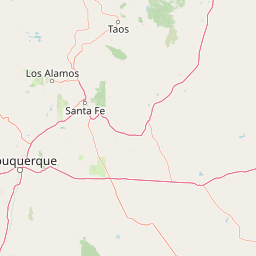
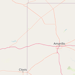
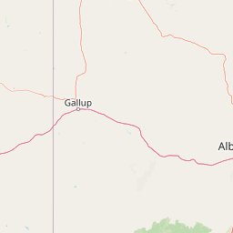
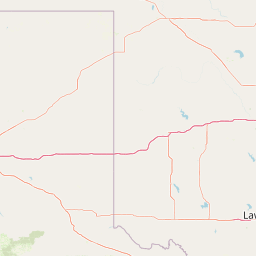
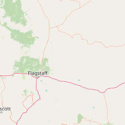

Leaflet | <a href="https://www.openstreetmap.org/copyright">© OpenStreetMap contributors</a>
Item
| Property | Value |
|---|---|
| id | 233735 |
| downstream_mainstem_id | https://geoconnex.us/ref/mainstems/225074 |
| encompassing_mainstem_basins | ['https://geoconnex.us/ref/mainstems/225074'] |
| featuretype | ['https://www.opengis.net/def/schema/hy_features/hyf/HY_FlowPath', 'https://www.opengis.net/def/schema/hy_features/hyf/HY_WaterBody'] |
| fid | 21724 |
| head_2020huc12 | 111201010303 |
| head_nhdpv1_comid | 13909943 |
| head_nhdpv2_comid | https://geoconnex.us/nhdplusv2/comid/13909943 |
| head_nhdpv2huc12 | https://geoconnex.us/nhdplusv2/huc12/111201010303 |
| head_rf1id | 36019 |
| lengthkm | 172.5 |
| name_at_outlet | |
| name_at_outlet_gnis_id | None |
| new_mainstemid | |
| outlet_2020huc12 | 111201010407 |
| outlet_drainagearea_sqkm | 1645.0 |
| outlet_nhdpv1_comid | 13914231 |
| outlet_nhdpv2_comid | https://geoconnex.us/nhdplusv2/comid/13914231 |
| outlet_nhdpv2huc12 | https://geoconnex.us/nhdplusv2/huc12/111201010407 |
| outlet_rf1id | 36018 |
| superseded | False |
| uri | https://geoconnex.us/ref/mainstems/233735 |