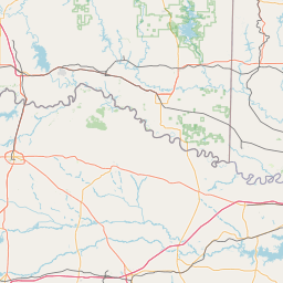
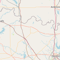
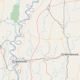
Pond Creek
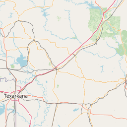
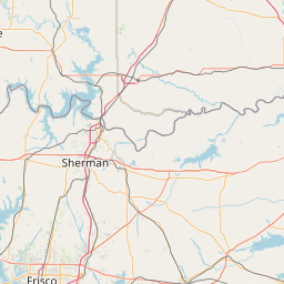
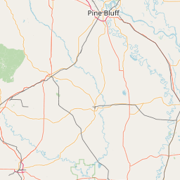
Map
Leaflet | <a href="https://www.openstreetmap.org/copyright">© OpenStreetMap contributors</a>
Item
| Property | Value |
|---|---|
| id | 236956 |
| downstream_mainstem_id | https://geoconnex.us/ref/mainstems/228965 |
| encompassing_mainstem_basins | ['https://geoconnex.us/ref/mainstems/228965', 'https://geoconnex.us/ref/mainstems/225906', 'https://geoconnex.us/ref/mainstems/225074'] |
| featuretype | ['https://www.opengis.net/def/schema/hy_features/hyf/HY_FlowPath', 'https://www.opengis.net/def/schema/hy_features/hyf/HY_WaterBody'] |
| fid | 22313 |
| head_2020huc12 | 111401090602 |
| head_nhdpv1_comid | 3749176 |
| head_nhdpv2_comid | https://geoconnex.us/nhdplusv2/comid/3749176 |
| head_nhdpv2huc12 | https://geoconnex.us/nhdplusv2/huc12/111401090602 |
| head_rf1id | 36635 |
| lengthkm | 45.7 |
| name_at_outlet | Pond Creek |
| name_at_outlet_gnis_id | 53675 |
| new_mainstemid | |
| outlet_2020huc12 | 111401090602 |
| outlet_drainagearea_sqkm | 193.4 |
| outlet_nhdpv1_comid | 3749946 |
| outlet_nhdpv2_comid | https://geoconnex.us/nhdplusv2/comid/3749946 |
| outlet_nhdpv2huc12 | https://geoconnex.us/nhdplusv2/huc12/111401090602 |
| outlet_rf1id | 36635 |
| superseded | False |
| uri | https://geoconnex.us/ref/mainstems/236956 |